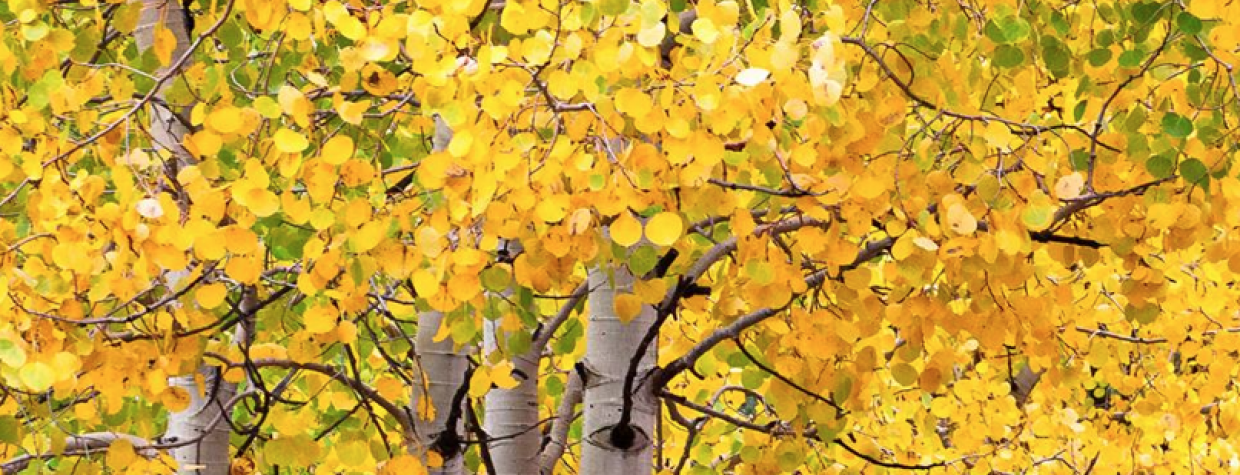
It's October, and that means autumn leaves are on display in Arizona and elsewhere. With that in mind, here are a couple of resources to help you find fall color at its most vibrant.
The U.S. Forest Service's Fall Colors 2014 website is now online. You can visit the site to get a general idea of when autumn color is peaking. The site also includes links to all the country's national forests, some of which post up-to-date information about fall leaves.
The 2014 website offers a map that shows visitors when trees are peaking in their state. The map is shaded in green (not peaking) to bright red (peaking) to brown (past the peak and ready for winter). Another map helps visitors find the national forest nearest them.
The Forest Service is asking visitors to the website to send in their favorite picture of what autumn looks like where they live. The agency will post the best of the best photos for everyone to see.
Additionally, our friends at the Apache-Sitgreaves National Forests passed along this information about fall color in the White Mountains, which is peaking the first three weeks of October:
The aspen are changing in the high elevations on the Mogollon Rim north of Overgaard and in the mountains south of Show Low and Springerville. Peak viewing should be the first three weeks of October in these areas:
Directions from Payson
From Payson, take Hwy. 260 and head east. At mile post 282, turn north (left) toward Woods Canyon Lake on Forest Road (FR) 300. Fall colors can also be viewed from FR 512 (Young Road) located off Hwy. 260 at mile post 284 or at Willow Springs Lake located off Hwy. 260 at mile post 283.Directions from Show Low
From Show Low go south on Hwy. 260 which then turns eastward at the Hon-Dah casino. The next 30 miles along Hwy. 260 is where you can enjoy the fall colors because aspen trees thrive at these higher elevations. This route can also take you to Sunrise Ski Park if you turn south at the Big Lake/Sunrise turnoff onto Hwy. 273.Directions from Alpine
From Alpine, go north on Hwy. 191 almost 6 miles, and then turn east at mile post 421 onto FR 56 (Terry Flat – Hulsey Lake road). Continue for 4.7 miles to the road fork that begins the 6 mile loop of Terry Flat atop Escudilla Mountain.Check out the A-S website for the link to the “Fall Color” Report for all area forests in New Mexico and Arizona by going to: www.fs.usda.gov/asnf
If you are heading out that way, keep in mind that some Apache-Sitgreaves campgrounds have closed for the season (or will be closing soon). You can learn more about those closures at this link.
Where are you finding stunning fall color in Arizona? Let us know in the comments!
(Photo: Tim Van Den Berg | White Mountains)

