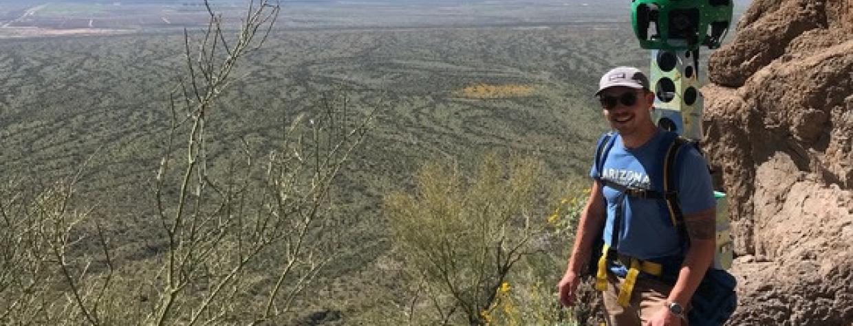
People preparing to hike in state parks across Arizona soon will be able to check out the route before they ever hit the trail.
Arizona State Parks and Trails says it's working with Google to capture footage of more than 175 miles of trails in state parks. Staff members spent six weeks walking the trails while carrying the Google R7 Trekker Camera to capture a 360-degree view of the trail, the department said in a news release.
The department says the data will allow visitors understand trail difficulty and topography, along with what they can expect to see along each route. It's also helped the department identify trails in need of maintenance or repair.
Arizona State Parks and Trails will send the data to Google once it's all been collected. It then will be processed and uploaded to Google Maps and Google Earth for free use by the public.
To find a state park near you, visit the Arizona State Parks and Trails website.

