
In October 1775, as a nascent United States was breaking away from Great Britain on America’s East Coast, Juan Bautista de Anza and a party of some 240 Spanish colonists began a 1,200-mile journey through present-day Mexico, Arizona and California to establish what would become San Francisco. It would be Spain’s first civilian presence in Alta California and its first land route to that territory. To get there, the Anza Party would ford rivers and cross deserts, often relying on the aid of the American Indian tribes through whose lands they would pass. Anza’s route would open the interior of Arizona to European settlement, forever affecting the tribal cultures that were here before and leading to many of the cities we know today.
Modern travelers can retrace the Anza expedition through Arizona via the National Park Service’s Juan Bautista de Anza National Historic Trail. Beginning in Nogales, the route first follows Interstate 19 north, picks up Interstate 10 south of Tucson and then Interstate 8 near Casa Grande, and crosses the Colorado River into California at Yuma.
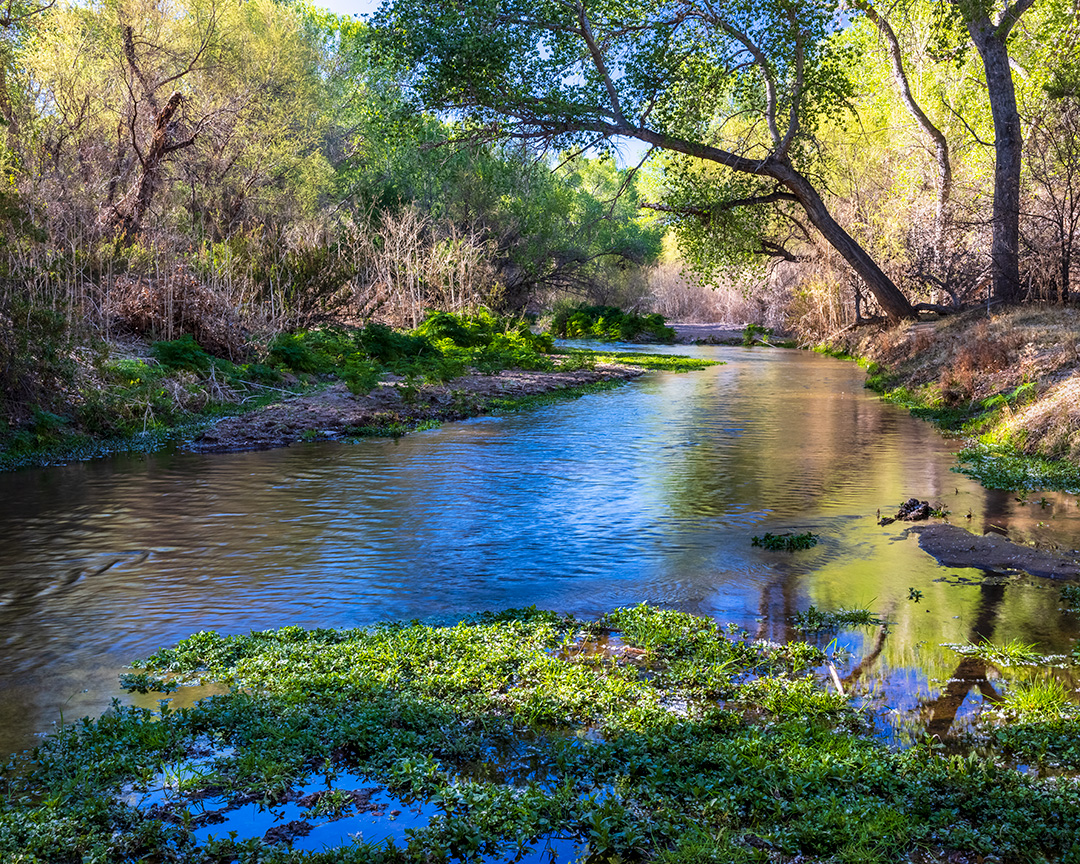
Interpretive roadside signs mark many of the Anza Party’s campsites, such as the Las Lagunas de Anza wetland, near Nogales in Santa Cruz County; there, more than 200 species of birds can be spotted. To the north, Tubac Presidio State Historic Park was Anza’s home and Spain’s northernmost outpost in Arizona in 1775. Hiking trails from Tubac connect with Tumacácori National Historical Park, 6 miles to the south, where three Spanish missions are preserved.
In Pima County, learn about the Pascua Yaqui Tribe and the Tohono O’odham Nation at the Yoemem Tekia Cultural Center and Museum and the Himdag Ki: Tohono O’odham Nation Cultural Center and Museum before visiting Mission San Xavier del Bac, where the Anza Party stayed and three couples from the expedition were married. The party also made camp in today’s Saguaro National Park, which protects 143 square miles of the Sonoran Desert and its iconic saguaro cactuses.
Entering present-day Pinal County, the expedition camped in the shadow of today’s Picacho Peak State Park. Anza made a detour to visit the ruins at what today is Casa Grande Ruins National Monument, a colossal Hohokam compound that was abandoned some three centuries before Anza’s arrival and still fascinates visitors today. The expedition stayed in Pima villages whose people were described by expedition diarist Pedro Font as “gentle and of good heart”;
visit the Gila River Indian Community’s Huhugam Heritage Center to learn more about Pima culture’s past and present.
Continuing west along the Gila River in today’s I-8 corridor, the Anza Party camped with the ancestors of today’s Salt River Pima-Maricopa Indian Community, whom Anza met during his initial 1774 scouting journey. Painted Rock Petroglyph Site has interpretive signs explaining the 1775 Anza Party’s passage through this area.
Anza established good relationships with the many tribes he met, and without the aid of these communities, the expedition likely would have failed. On November 30, 1775, the Anza Party crossed the Colorado River with the help of the ancestors of today’s Fort Yuma-Quechan Tribe. “Yuma” comes from humo — the Spanish word for “smoke,” and what the Spanish collectively called the Quechan, Cocopah and Maricopa people here because of their many campfires. Yuma Crossing National Heritage Area, a 21-square-mile site, protects wetlands along the Colorado River. Just a few years after the Anza Party passed through, the Yuma Revolt of 1781 would see the Quechans push the Spanish out of this strategic river crossing in response to the impacts of colonization.
For more information about the Juan Bautista de Anza National Historic Trail, visit nps.gov/juba.