
In the late 1800s, the Porter family ran sheep and cattle near what now is the thriving White Mountains community of Pinetop-Lakeside. Along with several other families, the Porters played a key role in settling the area, the late Jo Baeza wrote for the White Mountain Independent in 2005. Porter Mountain, just northeast of Pinetop-Lakeside, honors that history — and is a highlight of this easy drive, which starts and ends in town.
From State Route 260, head north on Porter Mountain Road, a paved two-lane thoroughfare that passes the trailhead for the Blue Ridge Cave Trail as it runs out of town. After 1.8 miles, turn right at a “T” intersection to stay on Porter Mountain Road, which now offers views of rolling, pine-covered knolls straight ahead. The road’s namesake is the knoll with broadcast towers sprouting from its 7,573-foot summit.
After a few miles amid the ponderosa pines, Porter Mountain reappears past a bend in the road. The peak, one of this area’s many extinct cinder cone volcanoes, can easily be explored via the dirt road on the left at Mile 4.8. You’ll need a high-clearance vehicle to make the 1-mile drive to an overlook with a panoramic view of Pinetop-Lakeside and an endless sea of ponderosas. You’ll also get a look at Mount Baldy, to the distant east, on the way up the road.
If you don’t have the right vehicle to drive up Porter Mountain, this side trip doubles as an enjoyable and calorie-burning hike. As a bonus, you’ll be able to walk the additional half-mile to the summit — something drivers can’t do because of a gate at the overlook. The views at the top are even better, and you’re likely to have them all to yourself.
Back on Porter Mountain Road, continue east as the road winds through tall ponderosas and junipers. The pavement ends at Mile 10.5, but what replaces it is a well-maintained gravel surface that’s suitable for most vehicles. You’ll pass a series of large clearings ringed by evergreens, and get a brief glimpse of Marshall Mountain to the east, before turning right onto Forest Road 182, another relatively smooth route, at Mile 11.9.
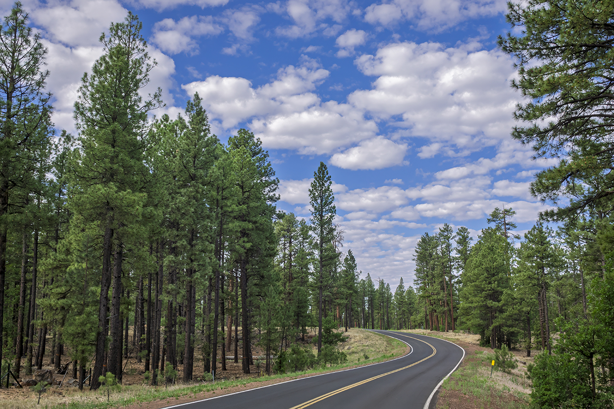
Here, the ponderosas close in on both sides of the road, and on a breezy day, you’ll want to roll down your windows and take in the Arizona version of ocean sounds as the wind whistles between the pine needles. Below the pines are countless small oaks populating the forest floor. When you put it all together, the forest along this road feels like the kind of place where Craig Childs could get lost for a week.
After you cross Tenny Flat, you’ll make a quick descent near the base of 7,592-foot Pat Mullen Mountain. Just after that drop, the pavement returns and FR 182 becomes Sky-Hi Road. More signs of civilization creep in over the road’s remaining few miles, and by the time you reach Buck Springs Road at Mile 20.5, you’ll be firmly in a residential part of Pinetop-Lakeside.
Turn right and go a half-mile to this drive’s conclusion at SR 260, about 5 miles southeast of where you started. Pinetop Brewing Co., one of Arizona’s best small breweries, is back that way — but, sadly, there’s no porter on its permanent menu.
Tour Guide
Note: Mileages are approximate.
Length: 21 miles one way (from State Route 260, and including side trip up Porter Mountain)
Directions: From State Route 260 in Pinetop-Lakeside, go north on Porter Mountain Road for 1.8 miles to a “T” intersection. Turn right to stay on Porter Mountain Road and continue 3 miles to the dirt road up Porter Mountain. Turn left onto this road and continue 1 mile to the overlook. Backtrack 1 mile to Porter Mountain Road, turn left and continue 5.1 miles to Forest Road 182. Turn right onto FR 182, which later becomes Sky-Hi Road, and continue 8.6 miles to Buck Springs Road. Turn right onto Buck Springs Road and continue 0.5 miles to SR 260.
Vehicle requirements: None in good weather.
Warning: Back-road travel can be hazardous, so be aware of weather and road conditions. Carry plenty of water. Don’t travel alone, and let someone know where you are going and when you plan to return.
Information: Lakeside Ranger District, 928-368-2100 or fs.usda.gov/asnf
Travelers in Arizona can visit www.az511.gov or dial 511 to get information on road closures, construction, delays, weather and more.