
Seclusion can be hard to find on the Mogollon Rim when people flock there to escape the summer heat. But if you’re looking for peace and quiet in Rim Country, Bear Canyon Lake, just northwest of the more heavily visited Woods Canyon Lake, is lovely in the summer — and so is the drive to reach it from Winslow.
About a mile south of Standin’ on the Corner Park in downtown Winslow, head southeast on State Route 99, which curves through a landscape dotted with high-desert vegetation. After a few miles, you’ll cross Jacks Canyon before taking another bridge over Clear Creek at McHood Park. From here, the rolling terrain is studded with low sandstone outcrops, and at Mile 11.5, you’ll see an interesting jumble of rocks that, from a distance, looks like an enormous caterpillar — or maybe one of the giant worms from Tremors. Remember that movie?
You’ll also start to get views of Chevelon Butte (6,943 feet) to the southwest. Like many landforms in this area, the butte is named for an 1800s trapper and scout who, according to legend, mistakenly ate some poisonous roots and perished on the bank of present-day Chevelon Creek. You might still be pondering what an unpleasant death that was by the time junipers and tall grasses start to appear along the road.
At Mile 23.3, you’ll enter Coconino County and get an excellent look at the butte. You’ll also see a recent addition to the landscape: the Chevelon Butte Wind Farm, an array of turbines that take advantage of the strong wind that often blows here. You’ll be amid the turbines, along with plenty of junipers, 5 miles later. Just past these white giants, you’ll enter the Apache-Sitgreaves National Forests, where the paved road transitions to gravel and becomes Forest Road 34.
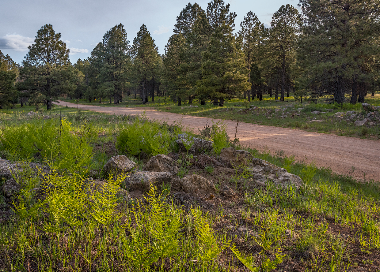
Piñon and ponderosa pines soon appear, and by Mile 37.5, you’ll be seeing them everywhere. A couple of miles after that, oaks join the party before the roadway transitions again, this time to well-graded dirt. Next, you’ll pass through the historic Dutch Joe Ranch before re-entering the forest and enjoying a thick ponderosa forest en route to Forest Road 300, also known as the Rim Road.
Your short time on FR 300 includes more tall ponderosas, large aspens and a few small Douglas-firs, along with the Promontory Lookout Tower, which sits along the road at Mile 54. This 110-foot Aermotor steel tower, built in 1924 to replace an earlier wooden structure, once was the tallest fire lookout in the region. It’s been listed on the National Register of Historic Places since 1988.
A mile past the tower, you’ll turn right onto Forest Road 89 and head north to the Bear Canyon Lake turnoff, on the right. The road to the lake winds through aspen groves, then splits to provide access to two parking areas. From either of these, it’s a short hike to the shore of the 60-acre reservoir, which sits at an elevation of 7,560 feet, is regularly stocked with rainbow trout and attracts an array of birds, including ospreys, Steller’s jays and hairy woodpeckers.
There’s no vehicle access to the lake itself, which means the only watercraft you’re likely to see are kayaks or paddleboards. On some days, you might not even see those. And that’s something to treasure on a summer day in Rim Country.
Additional reading: For more adventure, pick up a copy of our book Arizona Highways Scenic Drives, which features 40 of the state’s most beautiful back roads. To order, visit shoparizonahighways.com/scenicdrives.
tour guide
Note: Mileages are approximate.
Length: 57 miles one way (from State Route 87)
Directions: From State Route 87 just south of Winslow, go southeast, then south on State Route 99, which later becomes Forest Road 34 (Wallace Road), for 51.7 miles to a “Y” intersection. Bear right, onto Forest Road 300 (Rim Road), and continue 3.2 miles to Forest Road 89. Turn right onto FR 89 and continue 2.1 miles to the Bear Canyon Lake turnoff, on the right.
Vehicle requirements: A high-clearance vehicle, such as an SUV or truck, is recommended, but four-wheel-drive is not necessary in good weather. Don’t attempt the drive after recent heavy rain or if rain is in the forecast.
Warning: Back-road travel can be hazardous, so be aware of weather and road conditions. Carry plenty of water. Don’t travel alone, and let someone know where you are going and when you plan to return.
Information: Black Mesa Ranger District, 928-535-7300 or fs.usda.gov/asnf