PLANNING LENGTHY HIGHWAY PROGRAM
Planning Highway Survey Gathers Mass of Information for Arizona Road Builders
EVEN in the early dawn of civilization, man was dependent to a certain extent upon pathways, the largest portion of which were likely game trails. In all probability, not until the time man had domesticated certain types of animals to become beasts of burden, did he give any thought or concern to the path he trod, except to his dim understanding that it was the easiest way in the general direction he wished to travel. Then, though it is a matter of conjecture, ages must have passed before man learned that a rock removed here, a hollow filled there, and an occasional interfering limb lopped off made his beast of burden more efficient.
One very remote genius, who should be considered one of the greatest inventors of all time, fixed a couple of wheels to a stick of wood. From that time on, man has had the road problem, although for centuries after the Romans, he was generally content to jolt over primitive roads that were alternately deep in dust or mud.
However, not many years ago, in fact only a second of time in the age of man, a snorting, coughing, mechanical fourwheeled vehicle, guided by an apparently crazy individual, made its appearance on the roads. Since that time, roads have been an economic as well as engineering problem. At first the cry was to provide a surface on which the automobile could travel without getting mired in the mud. No one cared how crooked or indirect the road was, and when perhaps a still higher type of surface was placed on this same road, everyone was proud and pleased, with no thought thatmaybe it might have been well to have changed the location to a more direct route, and at the same time improve the alignment In Arizona the early stage of highway construction was the improving of unconnected pieces of road by the counties and later, with limited funds, by the state highway department. Fortunately, however, before the state built many roads that had little value or justification, the Federal Aid came into being. Under the Federal Aid Act, an inter-connected primary highway system was laid out, which, with a few changes, has been adhered to, to the present time. The mileage of the Federal Aid System is 7 per cent of what was estimated to be the total mileage of all roads in the state. This, together withthe non-Federal Aid, or State System, comprises about 15 per cent of the total mileage of all roads within the state. The roads constituting these two systems are the main intercity and interstate highways. They have been improved as a continuous system, until now it is possible to travel to any city or bordering state with reasonable speed and comfort. Much, however, remains to be done to make them adequate to serve the ever-increasing numbers and needs of highway users.
We might say that the pioneer period of highway construction is completed, and that it is now time to take an inventory of what we have before proceeding to the next step of highway refinement. We should find out what roads are perhaps adequate to serve our needs for some years more. We should find out what roads are now inadequate, and map out a long-time program for improvement and by the degree of inadequacy, establish the precedence of reconstruction.
We should determine if perhaps there are not some roads on the Federal Aid or State System that are of so little importance, and are so economically unsound, that they should be relegated to a secondary status. They should be elimi-
Lengthy Program By J. R. Van Horn
nated from any improvement program unt'l such a time as changing traffic conditions may possibly increase their importance.
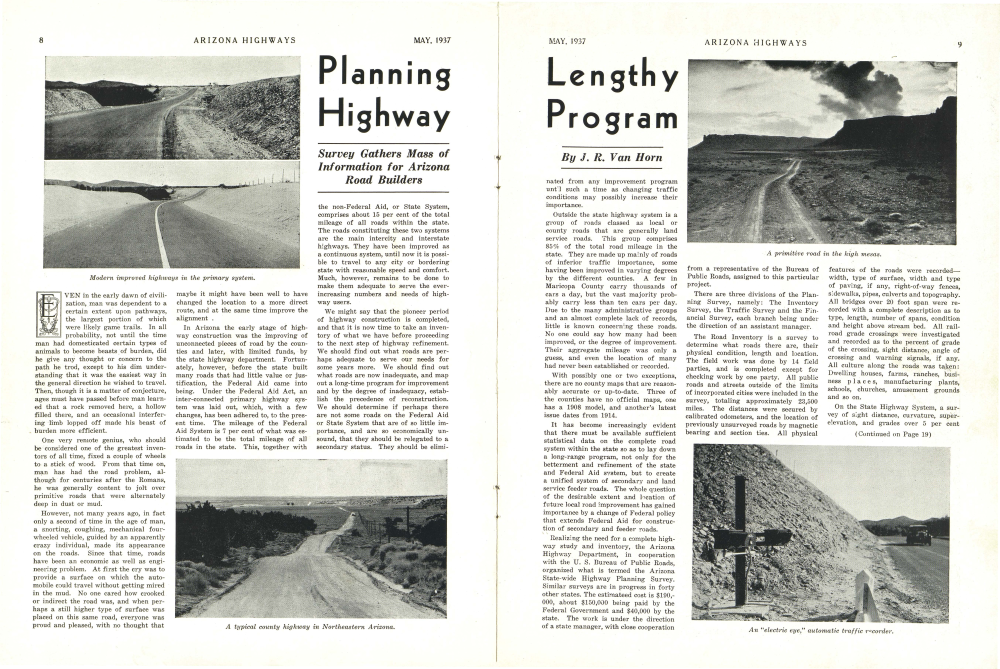
Outside the state highway system is a group of roads classed as local or county roads that are generally land service roads. This group comprises 85% of the total road mileage in the state. They are made up mainly of roads of inferior traffic importance, some having been improved in varying degrees by the different counties. A few in Maricopa County carry thousands of cars a day, but the vast majority probably carry less than ten cars per day. Due to the many administrative groups and an almost complete lack of records, little is known concerning these roads. No one could say how many had been improved, or the degree of improvement. Their aggregate mileage was only a guess, and even the location of many had never been established or recorded.
With possibly one or two exceptions, there are no county maps that are reasonably accurate or up-to-date. Three of the counties have no official maps, one has a 1908 model, and another's latest issue dates from 1914.
It has become increasingly evident that there must be available sufficient statistical data on the complete road system within the state so as to lay down a long-range program, not only for the betterment and refinement of the state and Federal Aid system, but to create a unified system of secondary and land service feeder roads. The whole question of the desirable extent and location of future local road improvement has gained importance by a change of Federal policy that extends Federal Aid for construction of secondary and feeder roads.
Realizing the need for a complete highway study and inventory, the Arizona Highway Department, in cooperation with the U. S. Bureau of Public Roads, organized what is termed the Arizona State-wide Highway Planning Survey. Similar surveys are in progress in forty other states. The estimated cost is $190,000, about $150,000 being paid by the Federal Government and $40,000 by the state. The work is under the direction of a state manager, with close cooperation from a representative of the Bureau of Public Roads, assigned to this particular project.
There are three divisions of the Planning Survey, namely: The Inventory Survey, the Traffic Survey and the Financial Survey, each branch being under the direction of an assistant manager.
The Road Inventory is a survey to determine what roads there are, their physical condition, length and location. The field work was done by 14 field parties, and is completed except for checking work by one party. All public roads and streets outside of the limits of incorporated cities were included in the survey, totaling approximately 23,500 miles. The distances were secured by calibrated odometers, and the location of previously unsurveyed roads by magnetic bearing and section ties. All physicalfeatures of the roads were recordedwidth, type of surface, width and type of paving, if any, right-of-way fences, sidewalks, pipes, culverts and topography. All bridges over 20 foot span were recorded with a complete description as to type, length, number of spans, condition and height above stream bed. All railroad grade crossings were investigated and recorded as to the percent of grade of the crossing, sight distance, angle of crossing and warning signals, if any. All culture along the roads was taken: Dwelling houses, farms, ranches, business places, manufacturing plants, schools, churches, amusement grounds and so on.
On the State Highway System, a survey of sight distance, curvature, superelevation, and grades over 5 per cent(Continued on Page 19)
Already a member? Login ».