- Hall of Fame
- Explore
- Photography
- Shop
- Classroom
- Subscriptions

Articles
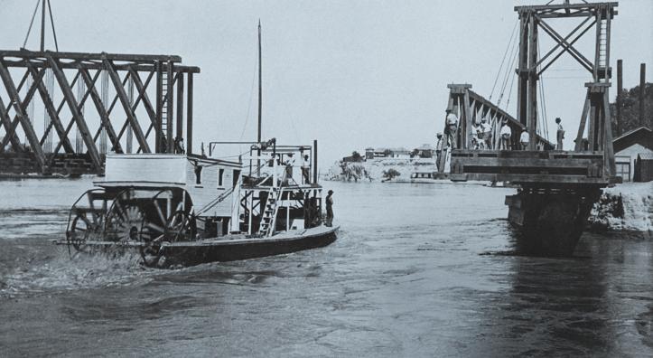
Behind the moored steamboat Gila, a bridge used by the Southern Pacific Railroad spans the Colorado River at Yuma in a photo from the late 1870s or early 1880s. In the…
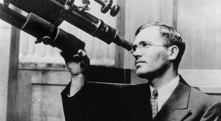
Looking through a hand magnifier, Clyde Tombaugh could barely see the stars on the image in front of him at Flagstaff’s Lowell Observatory. “My hand was shaking,” he later told his biographer. “I was…
Sedona’s newest park honors the city’s history, and one of the city’s oldest buildings is its focus. But just beyond the borders of Ranger Station Park on Brewer Road stands a reminder of a lesser-…
Arizona Highways does not publish words, images or other content created or edited, in whole or in part, by generative artificial intelligence (AI) tools such as ChatGPT. While we recognize that…
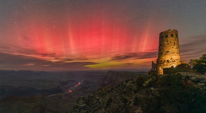
Galileo named the aurora borealis, or the northern lights, in the early 17th century, honoring Aurora, Roman goddess of the dawn, and Boreas, Greek god of the cold north wind. In the Southern…
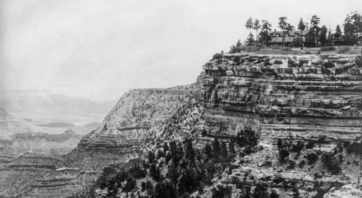
William Randolph Hearst was a man accustomed to getting his way. Heir to a mining and ranching fortune worth hundreds of millions in today’s dollars, he was a media mogul, art collector and two-term…
I am the Grand Canyon.
My other names are Beethoven and Wagner,
Immortal as Sorrow, deathless as Love.
My solitudes are limned in muted symphonies,
My Silences are organ-toned,
And the Stars…
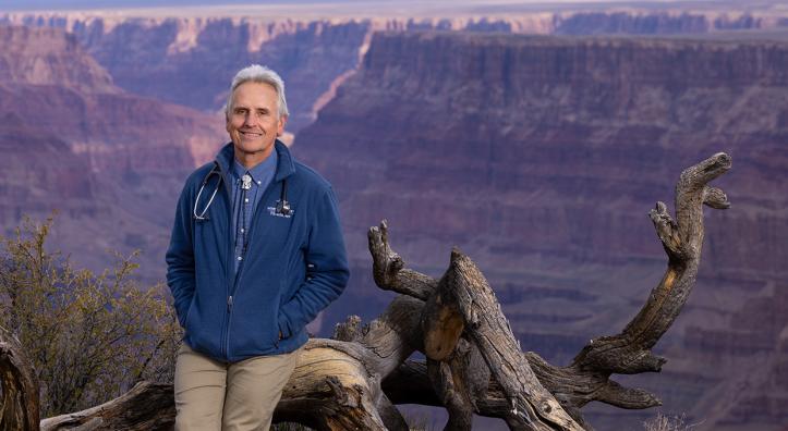
When Tom Myers was in the final months of an internal medicine internship at St. Joseph’s Hospital in Phoenix in the late 1980s, he feared he’d made a terrible mistake: Despite all he had endured to…