- Hall of Fame
- Explore
- Photography
- Shop
- Classroom
- Subscriptions

Articles
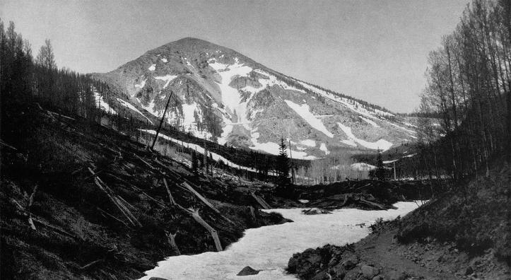
The rays of the rising sun bathe the mesas in golden light. They stand out sharply against the western horizon. Long gray shadows shorten to purple haze; a new day begins on the Painted Desert.
In…
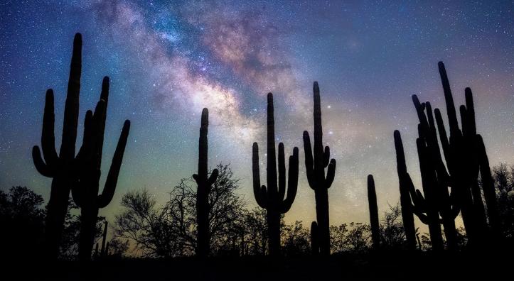
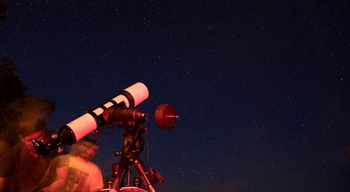
Photographing Night Skies
As you’ll see in this portfolio, there are several ways to photograph stars, planets and the Milky Way. Some of the images are a single exposure, others are a stitched…
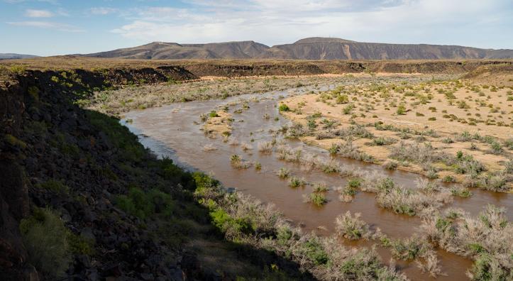
The Gila River sleeps in its bed southwest of metropolitan Phoenix, curled up in a long and lazy bend of dry sand, its water penned behind a series of upstream dams. This section, known as the Great…
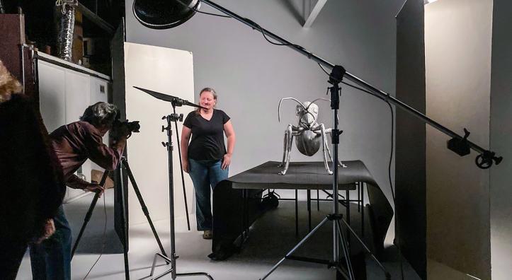
When it comes to portrait photography, I try to tailor each photo to the subject and the story being told. For the May 2024 issue of Arizona Highways, I was assigned to photograph Anna Dornhaus, a…
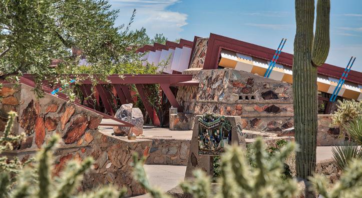
Under a cloudless morning sky, 10 architecture students from Washington State University and their professor roll out yoga mats on the lawn of a secluded courtyard at Taliesin West (pictured), Frank…
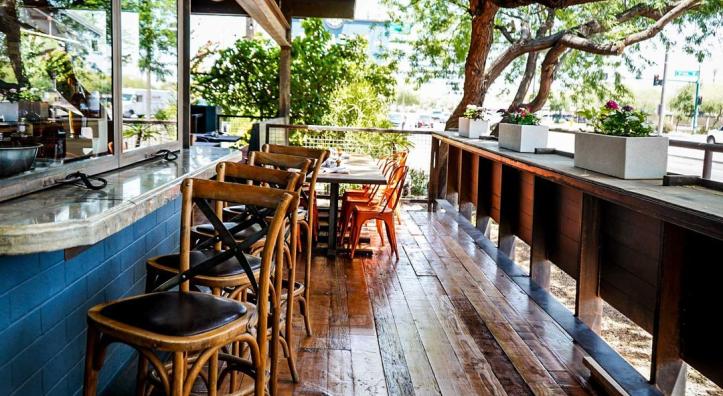
Renowned chef and restaurateur Doug Robson is adding to his line of restaurants in Phoenix. Tesota is the newest addition to Robson's Phoenix operations, which include Gallo Blanco and Otro Cafe. …
When you’ve been driving for seven hours in search of a starry sky, there are a few things you don’t want to see near the end of the trip.
Clouds are one of them.
My wife, Jen, and I are…
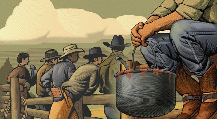
Cowboys learn early that they are showoffs, but they also learn that to show off without style, or to make a brag, is no good. Besides that, no matter how much of a flash a cowboy is, he won’t look…