
The southernmost miles of the Beeline Highway are uninspiring. A miasma of power lines intersect overhead. An active mining operation hacks into the crumbling banks of the adjacent Salt River. Ragged bits of plastic, escapees from a nearby landfill, cling to roadside cactuses. Still, there is beauty ahead, a promise of adventure as mountains beckon through the windshield.
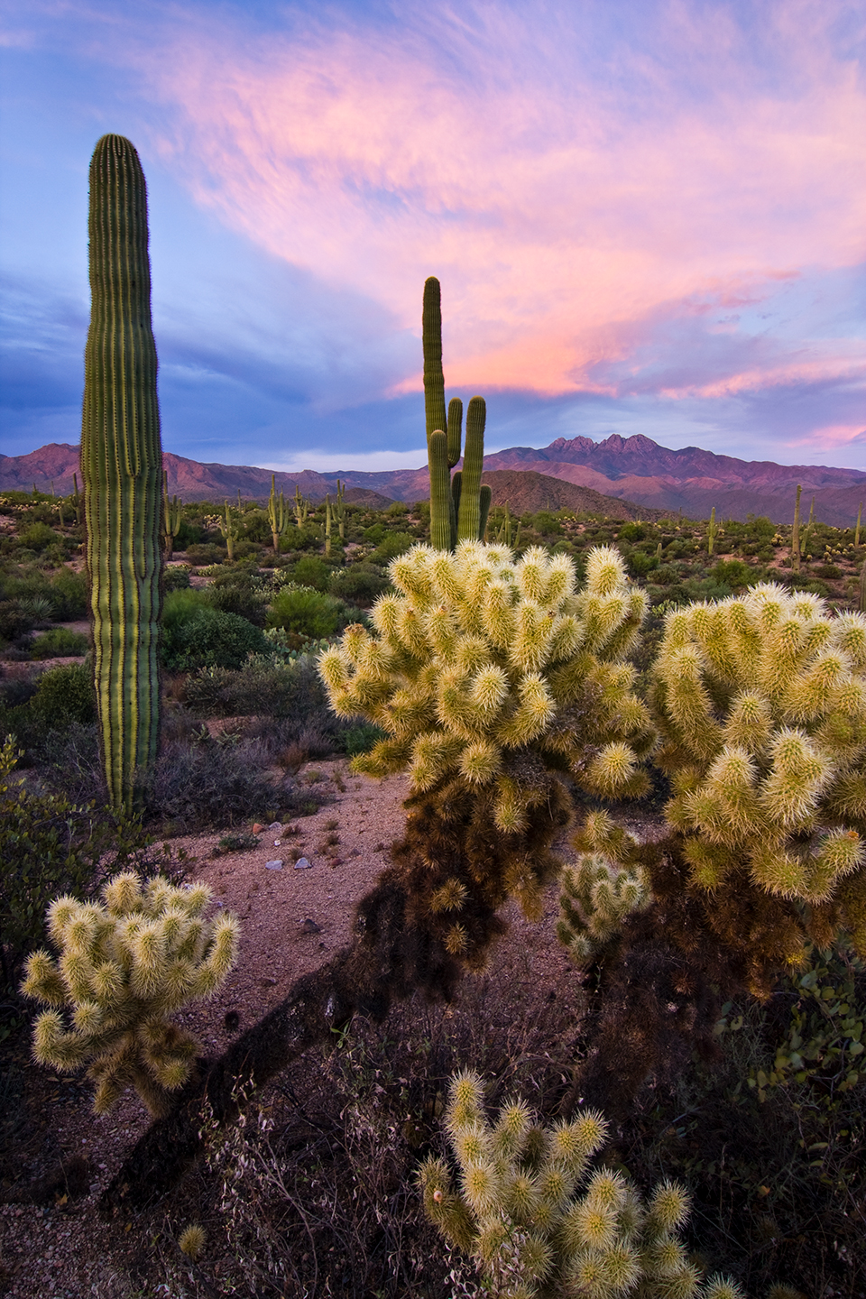
The Four Peaks, the iconic skyline that adorns the Arizona license plate, stand like a fortress. These peaks are the final crescendo of the Mazatzal Mountains, a range of ancient Precambrian rock that once stood as high as the Andes and now host forests of saguaros, glens of oaks and gorges of granite. The name “Mazatzal” may have originated with Aztec traders who dubbed the mountains “a place of many deer.” The Mazatzals are still a good place to spot deer (or a squadron of javelinas) or to just sit quietly within one of their many hidden grottoes. These mountains are not, however, the easiest place to put a road.
And so, the Mazatzals formed a barrier to human migration for about forever. Some animal trails that became footpaths existed by the time the Aztec traders, the pochteca, may have passed through. These routes followed passes through the hard rock range that are easily identifiable today.
Two of them notch the skyline on either side of Mount Ord, the conical, 7,123-foot peak sitting well to the north of the Four Peaks. The northern notch is the Slate Creek Divide, the route the Beeline follows. The southern notch is Reno Pass, named for the cavalryman who supervised trail construction through the rocky gap in the 1860s. The third obvious way across the Mazatzals is not really a pass at all, but an end run around the mountains via the canyons of the Salt River. This was the route chosen for the first automobile road to breach the mountains.
If you wanted to get across the Mazatzals at the time of Arizona’s statehood in 1912, you drove into the Superstition Mountains, winding up and down and around craggy canyons all the way to the new Theodore Roosevelt Dam, for which the road had been built. If you were headed to Payson, you probably stopped after the first day’s drive at the dam outpost of Roosevelt or farther along in the Tonto Basin, perhaps at a hospitable ranch. For more than two decades, this was the way from Mesa to Payson: a two-day affair that included the circuitous Apache Trail, today’s State Route 88.
cactuses. | Joel Hazelton
By 1930, lumberman Harvey Bush had had enough of the roundabout route. A more direct way to Payson and the forested Mogollon Rim would no doubt facilitate his logging operations, and he lobbied for a new road. In 1933, the federal Reconstruction Finance Corporation gave him his wish: There would be a highway built over the Mazatzals, and it would be called the Bush Highway.
Today, the name “Bush Highway” refers to a strip of pavement that runs along the lower Salt River, offering access to that last flowing ribbon of the Valley’s lifeblood, a place for paddlers and floaters and fishermen, cyclists and hikers and ATVers. It’s a recreational gem on the very border of the Phoenix metro area, but in the 1930s, this section of road was just the start of a mountain byway that ran all the way to Rim Country. The Bush was really the first Beeline.
There was already a route to follow, a dirt track that more or less paralleled those ancient trails, but it wasn’t quite suitable for the Ford Model A’s or Pontiac 6’s of the period. A 1914 journal entry by mine inspector F.L. Ransome paints a picture of the route before the Bush road: “The route continues up the generally dry bed of Sycamore Creek. At the forks of the creek, about 4 miles above Sunflower Ranch, the road ends and the remaining 3 miles of the journey must be traversed by trail.”
There would be a highway built over the Mazatzals, and it would be called the Bush Highway.
That final 3-mile hike was to reach a mine that produced cinnabar, which produced mercury — which, among other things, purified gold and removed hair from pelts to make felt. The Mazatzals’ mines were the chief attraction in the years before the Bush Highway, and one of the old mining camps served as a construction base camp for the road. You can still catch a glimpse of the old construction site at the bottom of a big hill for northbound travelers, just past the Mazatzal divide. We now struggle to keep our speed under 55 miles per hour as we pass by on the descent.
Bush’s new road had barely been blasted out of the schist before it was nearly abandoned. The Bureau of Public Roads, today’s Federal Highway Administration, was planning a road that would lead up the Verde River from Phoenix to Camp Verde, a potential hub that might spawn roads to Prescott and Flagstaff. A quick look at the map shows this to be the most direct and logical route to Northern Arizona from the Valley of the Sun, but it wasn’t so great for Payson — or Harvey Bush.
traverses. | Laurence Parent
With help from U.S. Senator Carl Hayden and the U.S. Forest Service, Bush persuaded the bureau to stick with his new road. The Verde route was abandoned, and in 1939, further improvements on Bush’s mountain highway began, taking it from one lane of rough dirt to a compacted and oiled road. Wilderness advocates of today can be grateful for this turn of events: The Verde River now runs wild and scenic, tucked quietly beneath the Verde Rim to the west and the Mazatzals to the east, secure from the bustle of both Interstate 17 and the Bush Highway — or, later, the Beeline.
The latter name came to life in the 1950s, when Maricopa County Supervisor Jim Hart negotiated a shortcut route across tribal lands northeast of Scottsdale, bypassing the scenic but slow road we now call the Bush Highway along the lower Salt River. True to its name, this new road went straight from Mesa to the Saguaro Lake turnoff, saving 15 minutes of travel time for folks such as Hart, who had a cabin in Payson. The term quickly expanded to include the entire highway as continued improvements made the road a faster way to the high country — a beeline to the pines.
The Beeline seems to mark the passage of time, reminding us of the constant of change.
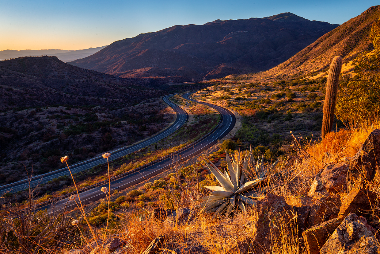
Tragically, Hart was killed in a one-car crash on the very highway he championed. And he was far from the only one: Crashes on the narrow, winding road were nearly 50 percent higher than the national average, providing an impetus for the next generation of the Beeline, now designated State Route 87. It was a completely paved highway by 1958 but lacked a single passing lane for another decade. By 1983, nearly half of the highway had expanded to three or four lanes, and in 2001, the final bridge and realignment were finished, making the entire road a four-lane superhighway. This last piece of the Beeline spanned Kitty Joe Canyon, not too far from the spot where the old mining road turned to trail.
In 2023, we take transportation for granted. We hop into our mostly self-driving cars and check our phones to learn exactly when we’ll arrive at our destination. It’s easy to forget we’re traveling across a very real landscape of rock, sand, cactuses, creeks, canyons and forest thickets. But even a casual observance of the Beeline reveals an almost surreal infrastructure: two strips of perfect blacktop running side by side through metamorphic mountains as if on a canvas of science fiction art.
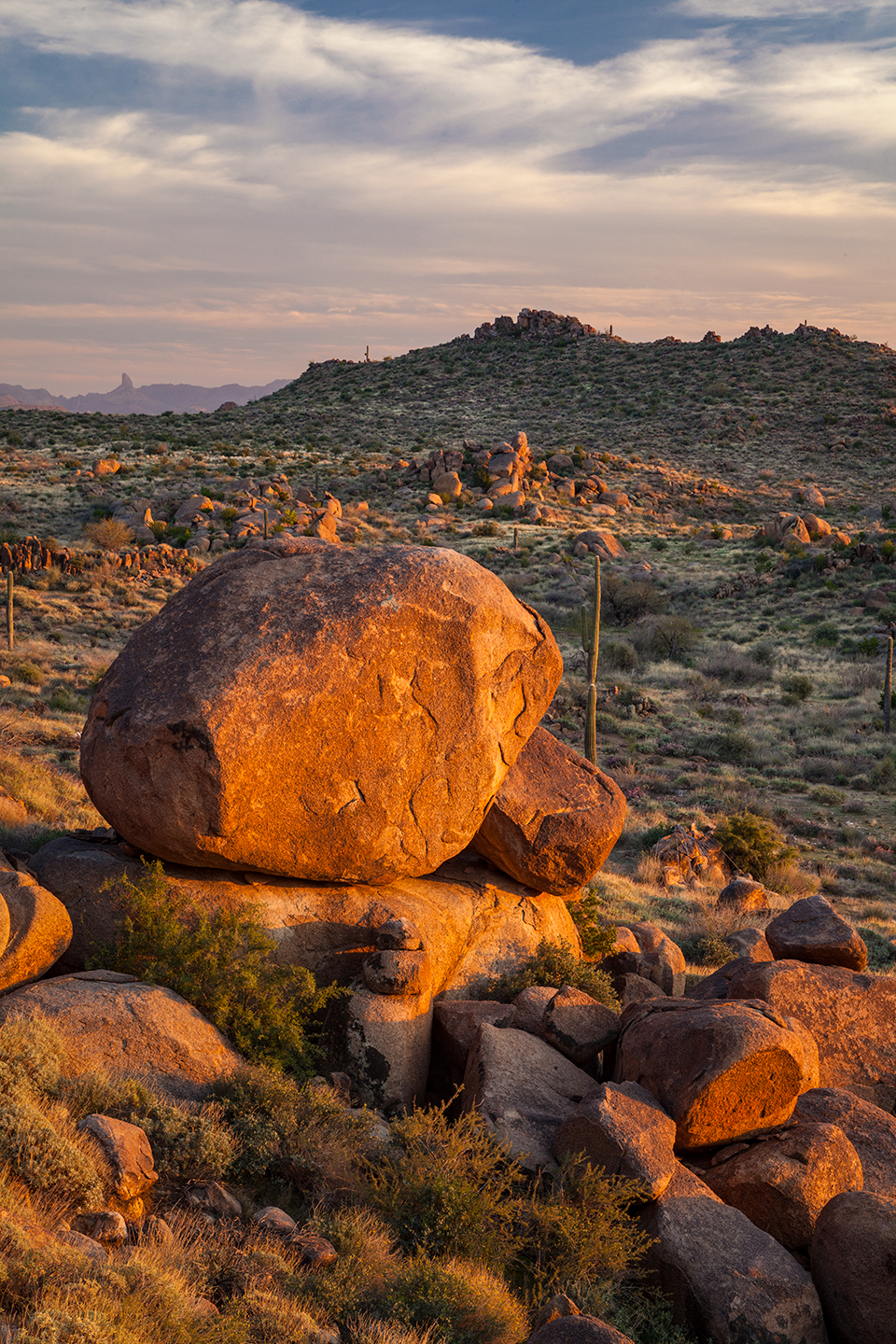
Just 20 minutes out of Mesa, the Beeline strikes through a ridge of granite boulders piled precariously at the foot of the mountains. The impossible spire of Weavers Needle strikes a pose to the southeast. The Four Peaks, often snow-dappled, perch eminently above. Saguaros stand ghostly silent among the rocks. There’s hardly a scene that could be called more Arizonan.
I’ve probably driven the Beeline more than 100 times. Most weekends over the past few years, I traveled between my Flagstaff home and my elderly mother’s home in the Valley, and the Beeline was usually my route. The windshield scenery alone was enough to ground me after I’d faced the challenges of an aging parent, but still, I usually stopped somewhere along the way, immersed myself in the roadside wilds, got some exercise and found a little adventure — a scramble into the balanced boulders, a quick paddle on nearby Tonto Creek if it was flowing high, a hike into the cloak of saguaros that covers the Mazatzal foothills. The tallest cactus I’d ever seen was there. A survivor of the Bush Fire, it improbably wavered in the breeze on a fire-damaged trunk. I could always see it from the road for just a second, furtively tucked into a rocky gap. As I drove home from one of my last visits to Mom — realizing she had a very short time left — the cactus was strangely gone, finally toppled by the wind.
The Beeline seems to mark the passage of time like this, reminding us of the constant of change. A marvel of engineering, it transports us from Mesa to Payson in an hour and 10 minutes. Go back to the 1980s, and that travel time nearly doubles. Time-machine further to 1958, when the highway was officially christened, and it’s more than a three-hour drive. Of course, it’s not all about the speed — every era had its niche. The Bush Highway of the 1940s might have been my sweet spot: a decent road in a sparsely populated countryside, a four-hour trip to Payson that followed every contour of the land, but what’s the rush? You could probably have camped right beside the road and not heard a passing car all night long.
The present time isn’t bad, either. In that hour-plus drive, there are enough destinations to last a lifetime: the Sugarloaf Mountain ATV trails, the Sycamore Creek gorge, the summit of Mount Ord, the Barnhardt Trail leading straight into the heart of the Mazatzals. The Arizona Trail crosses the highway at Sunflower, once an important service station halfway along the route. You’ll sometimes see through-hikers hitching a ride here, headed for a shower in Payson before returning to take on the rugged Mazatzals. Once beyond earshot of the highway, these foot travelers find an environment not too different than what the Aztec traders might have found: a place of deer, lions, snakes and the sweet music of streams. Except now, there’s a road that can zip us through in a flash — or drop us into the mountains for almost forever.