
There’s plenty to see on the Navajo Nation, and that generally means doing plenty of driving. That’s to be expected, given that the tribe’s land covers 27,000 square miles, including much of Arizona’s northeast corner. Thankfully, the in-between stretches are worth seeing, too — including the Tse’nikani (Flat Mesa Rock) Scenic Road, a section of U.S. Route 191 that forms part of a route from Monument Valley to Canyon de Chelly.
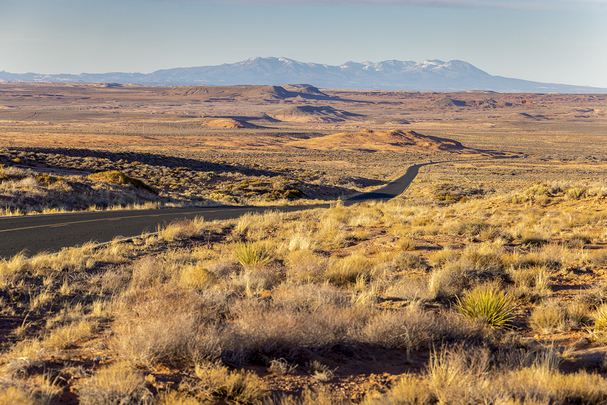
From Kayenta, south of Monument Valley, take a trek east on U.S. Route 160 to its intersection with U.S. 191, this drive’s starting point. As you head south through a high-desert landscape brimming with low, rounded sandstone buttes, you’ll catch glimpses of the distant Carrizo Mountains to the east. More views of this range open up around Mile 2, and to the southwest, the rim of Black Mesa, a defining landform on this part of the Colorado Plateau, stretches along the horizon.
A few miles later, the Lukachukai Mountains appear to the southeast before you cut through a sandy area. The road then dips into a landscape carved by deep washes, with sandstone mounds rising like nuclear submarines from a sea of sagebrush. At Mile 11, roadside buttes on the left cradle numerous caverns and alcoves sculpted by wind and rain over millions of years. And a couple of miles later, a rock near the road resembles the fingers of one of Monument Valley’s Mittens beginning to erupt from the ground.
The small town of Rock Point is next, at Mile 15, and oddly shaped landmarks line the road there and for the next several miles. Past a row of low, strangely textured buttes on the left, you’ll reach the Dancing Rocks, a frequently photographed pair also known as Whale Rock for their resemblance to a surfacing ocean creature. Behind them is a steep, jagged wall of sandstone that parallels the road for the next few miles, offering a look at alcoves and a small natural arch.
At Mile 24, the road descends into the Chinle Valley, and you’ll get your first views of Round Rock and Little Round Rock to the southwest, along with more sculpted sandstone on the other side of the road. After a mostly flat section, the road descends again, this time toward the town of Round Rock. You’ll now find yourself pointed toward the Chuska Mountains to the southeast, but you won’t make it that far. Instead, at the intersection with Indian Route 12 at Mile 32.2, turn right to stay on U.S. 191 and head southwest.
This stretch offers an up-close look, on the right, at Round Rock (the butte), a wide mesa spiked with sandstone spires on its edges. You’ll roll over Round Top Ridge before the road descends one more time, through a section of low, layered, conical buttes reminiscent of the Painted Desert to the southwest.
After a Chinle Wash crossing, the landscape flattens out, and the final stretch of the drive bisects a broad valley and passes scattered Navajo settlements. The scenic road officially ends a few miles short of Many Farms, this drive’s conclusion; from there, you can continue south to Canyon de Chelly National Monument, or you can retrace your route back to the Monument Valley area. There are plenty of other options, too, if you’re willing to do a little more scenic driving. It’s the Navajo Nation, after all.
Tour Guide
Note: Mileages are approximate.
Length: 48 miles one way (from U.S. Route 160)
Directions: From U.S. Route 160 east of Kayenta, go south on the Tse’nikani (Flat Mesa Rock) Scenic Road (U.S. Route 191) for 48 miles to Many Farms.
Vehicle requirements: None
Warning: Back-road travel can be hazardous, so be aware of weather and road conditions. Carry plenty of water. Don’t travel alone, and let someone know where you are going and when you plan to return.
Information: Navajo Tourism Department, 928-357-6291 or discovernavajo.com
Travelers in Arizona can visit az511.gov or dial 511 to get information on road closures, construction, delays, weather and more.