
Navajo Nation
Acrophobia is more common than you might think: According to the Cleveland Clinic, 3 to 6 percent of people have an intense fear of heights. That can be a problem when, say, climbing into the Echo Cliffs on U.S. Route 89 between Flagstaff and Page. And it probably doesn't help to know that a section of that roadway was damaged by a landslide in 2013, necessitating a complicated repair and a lengthy detour.
Thankfully, the acrophobic now have a less harrowing way to reach Lake Powell and other attractions in the Page area. During the repair, the Arizona Department of Transportation paved Navajo Route 20, which splits from U.S. 89 in the southern part of the cliffs. And today, that route offers unusual geology and seemingly limitless views of the sprawling Navajo Nation.
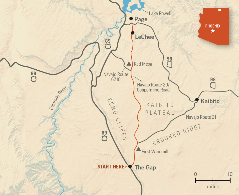
The route begins on U.S. 89 in The Gap, a small community named for the opening in the cliffs through which Navajo Route 20 passes. From there, the two-lane road quickly curves southeast, then turns north at an unnamed peak. With the exception of a few gentle curves here and there, north is the direction you'll be traveling the rest of the way.
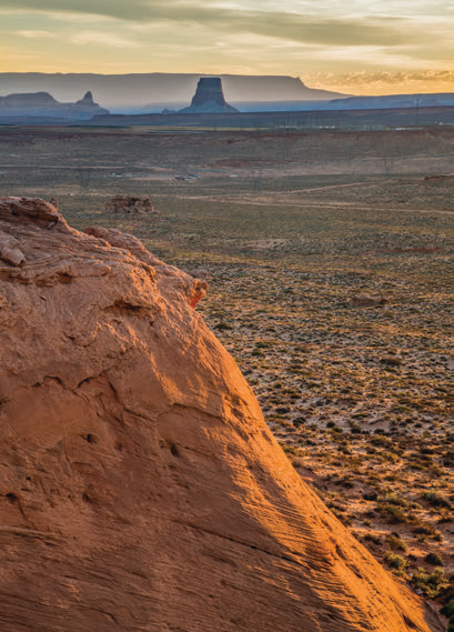
A couple of miles in, you'll start seeing wrinkled sandstone formations near the road; behind them, on the left, is the seldom-seen east face of the Echo Cliffs, which form the western edge of the Kaibito Plateau. To the right is Crooked Ridge, a lower and mostly east-west formation. From there, the road rolls into a flatland of junipers — colloquially known as “cedars,” as reflected in numerous geographic names in this area — and assorted desert grasses.
Past a local landmark known as the First Windmill (Mile 7.8), jagged rocks rise on both sides of the road — a product of complex geological processes, but also thousands of years of wind erosion. Around Mile 15, you’ll curve into an area of larger junipers, along with more unusual rock formations — there’s one on the right, overlooking the road, that resembles a desert horned lizard.
The route then crests a low hill before descending toward some larger formations, including textured “brain rock,” reminiscent of White Pocket, on both sides of the road around Mile 24.
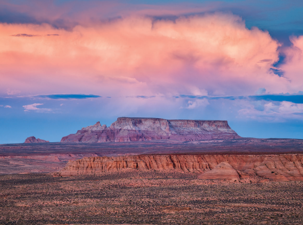
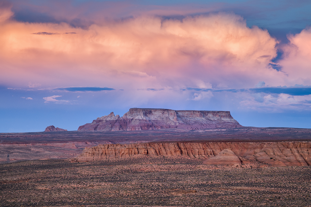
Another hill summit is the site of an intersection with Navajo Route 6210, and after that, you’ll navigate some gentle ups and downs en route to Red Mesa, at Mile 30. True to its name, this low, flat landform is marked by a band of ruddy soil. At the crest of yet another hill, you’ll get a glimpse, on a clear day, of Navajo Mountain to the north-east, in Utah. Next is a slow descent through slot canyon country, and although you can’t see much of those canyons from the road, you will see Tower Butte and other Lake Powell landmarks to the north.
Past a set of vibrant red rocks on both sides of the road, you’ll enter the community of LeChee, which is dotted with assorted wind-scoured sandstone buttes. You’ll continue descending until the last half-mile of the drive, where you’ll make an easy climb to Lake Powell Boulevard, which circles most of Page. From there, you can explore the city and reservoir or make your way west to U.S. 89, which will take you across Glen Canyon Dam Bridge or down the Echo Cliffs. If, that is, you aren’t one of the 3 to 6 percent of people with an intense fear of heights.
ADDITIONAL READING: For more adventure, pick up a copy of our book Arizona Highways Scenic Drives, which features 40 of the state's most beautiful back roads. To order, visit www.shoparizonahighways.com/100scenicdrives.
Tour Guide
Note: Mileages are approximate.
Length: 44.8 miles one way (from U.S. Route 89)
Directions: From U.S. Route 89 in The Gap, go east, then north on Navajo Route 20, which later becomes Coppermine Road, for 44.8 miles to Lake Powell Boulevard in Page.
Vehicle Requirements: None in good weather.
Warning: Back-road travel can be hazardous, so be aware of weather and road conditions. Carry plenty of water. Don’t travel alone, and let someone know where you are going and when you plan to return.
Information: Navajo Nation Division of Transportation, 505-481-2018 or navajodot.org
Travelers in Arizona can visit www.az511.gov or dial 511 to get information on road closures, construction, delays, weather and more.