
“There’s a dedication planned in Pinedale, in southwestern Navajo County, where the town’s menfolk got together and built a covered wooden bridge across Pinedale Wash,” the Associated Press reported in July 1976. “A. Louis Petersen, one of the builders, says [it] is the only covered bridge in the state.”
The bridge, named for community member Mauretta B. Thomas, was a project to mark the U.S. bicentennial. Nearly half a century later, it remains a point of pride in tiny Pinedale — and it’s also the endpoint of this relaxing drive, which offers panoramic views of Mogollon Rim Country as it meanders through stands of the trees that gave the town its name.
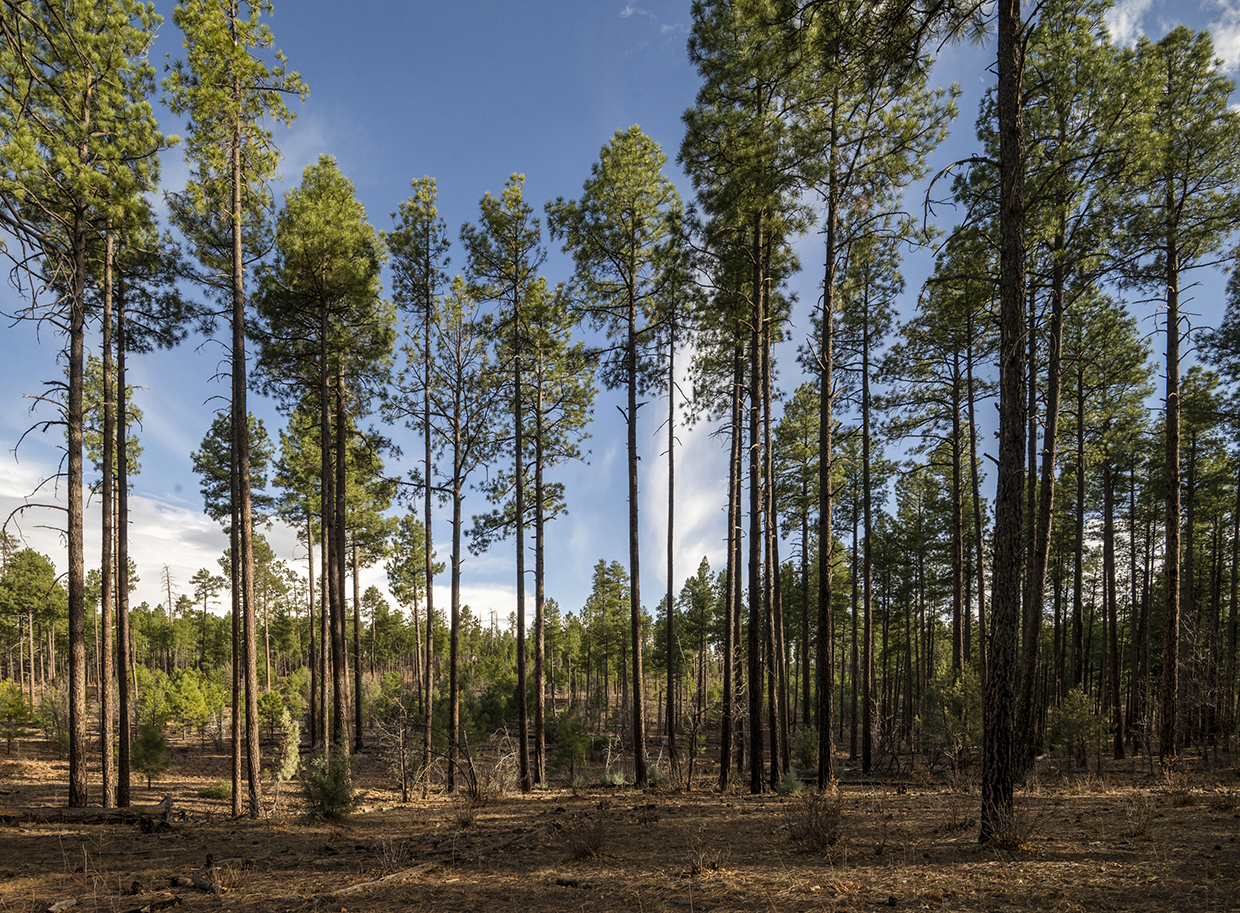
From State Route 260, head south on Scotts Lane, but only for a few hundred feet; then, turn right onto Pinedale Ridge Road, a fairly smooth dirt route that’s navigable in any SUV. You’ll roll past countless junipers and small piñon pines for the first mile, then reach an area of tall ponderosa pines. Much of this area burned in the 2002 Rodeo-Chediski Fire, but it’s now green and vibrant again, with small pines springing up to replace their departed ancestors.
At Mile 3.2, you’ll come to a pullout, on the right, that offers a wide look at the rolling valley below the ridge you’re traversing. The road then curves to the left and descends into a thick section of forest before climbing again. Tall ponderosas shade much of the next few miles, but a gap at Mile 5.2 will give you another panorama, this one of distant low buttes rising from an endless piñon-juniper sea.
Next, you’ll come to a “Y” intersection with Forest Road 139; keep going straight to stay on Pinedale Ridge Road, which now is Forest Road 132. The route gets more rutted here and stays that way as it gently descends toward a “T” intersection with Forest Road 300 (the Rim Road), which follows the general contours of the Mogollon Rim. Turn left and take that road for less than a mile to another left at Forest Road 130, which is hard to miss — just look for the sign pointing you toward Pinedale.
The initial stretch of this road is much more rutted and rocky than the two previous ones, and you’ll want to take it slow, particularly when traversing deep potholes that may or may not have water in them. The reward for doing so is an unspoiled forest of skinny ponderosas broken up by fields of small oaks. The junipers reappear around Mile 11, and you’ll also see a few scattered aspen groves, an unexpected interloper in this part of Rim Country. You might also see wild turkeys or mule deer ambling across the road.
At Mile 13, you’ll pass through a small populated area, and from there, the road gets much smoother and wider as it winds back into the forest. And within a few more miles, you’ll be in Pinedale, where the route turns to pavement and becomes Pinedale Road. On the right, you’ll pass the Pinedale Work Center, a U.S. Forest Service site that contains several buildings constructed by the Civilian Conservation Corps in the 1930s and rehabilitated in recent years.
Just a half-mile later, you’ll reach the covered bridge — which, according to Navajo County, remains the only drivable covered bridge in Arizona. It’s another half-mile to SR 260, which you can take west to Heber and Payson or east to Show Low and Pinetop-Lakeside.
Tour Guide
Note: Mileages are approximate.
Length: 18.2 miles one way (from State Route 260)
Directions: From State Route 260 about 2 miles northwest of Pinedale, go south on Scotts Lane for 300 feet to Pinedale Ridge Road. Turn right onto Pinedale Ridge Road, which later becomes Forest Road 132, and continue 8 miles to Forest Road 300 (the Rim Road). Turn left onto FR 300 and continue 0.8 miles to Forest Road 130. Turn left onto FR 130, which later becomes Rim Drive and then Pinedale Road, and continue 9.5 miles to SR 260.
Vehicle Requirements: A high-clearance vehicle, such as an SUV or truck, is required, but four-wheel-drive is not necessary in good weather. Do not attempt the drive after recent heavy rain or if rain is in the forecast.
Warning: Back-road travel can be hazardous, so be aware of weather and road conditions. Carry plenty of water. Don’t travel alone, and let someone know where you are going and when you plan to return.
Information: Lakeside Ranger District, 928-368-2100 or fs.usda.gov/asnf
Travelers in Arizona can visit az511.gov or dial 511 to get information on road closures, construction, delays, weather and more.