

Anvil Rock Road
Northwestern Arizona
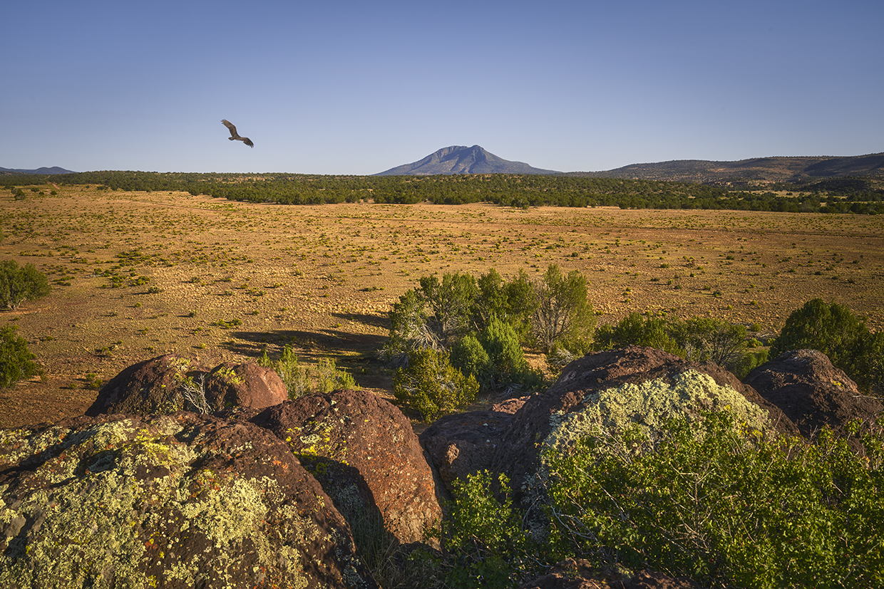
Seligman is known for its role in preserving Historic Route 66, and that focus purportedly made the tiny town the inspiration for Radiator Springs, the setting for Pixar’s Cars films. Just west of that celebration of human history is the start of Anvil Rock Road, an easy drive that showcases Northwestern Arizona’s rolling grasslands and thriving piñon-juniper forests en route to its namesake landmark.
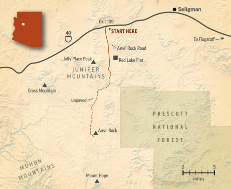
The journey begins on Interstate 40 — the freeway infamous for bypassing Arizona’s stretch of Route 66 in the 1970s and ’80s. Initially a wide, immaculately paved route, Anvil Rock Road heads almost directly south along the west flank of the Juniper Mountains, aptly named for the trees that populate the range’s low, rounded buttes. One of those, the recently renamed Jolly Place Peak, is home to a communications tower; you can see it on the right at Mile 2.
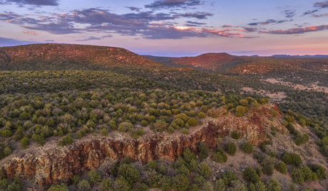
Shortly thereafter, the road drops into Red Lake Flat, a broad depression bordered by Jolly Place Peak to the west and juniper-covered ridges to the east. Here, you’ll pass a handful of ranch properties and other residences before climbing out of the flat and back into the piñon pines and junipers. Keep an eye out for Gunnison’s prairie dogs and turkey vultures, both of which are frequent sights in this area.
At Mile 6.5, the pavement gives way to a smooth gravel path that features more curving ups and downs, but it’s still suitable for just about any vehicle. During this stretch, the ridges close in on the road from both sides, and at Mile 9, you’ll follow one of them into a more heavily forested patch. When you come to another clearing a mile and a half later, you’ll be facing west and get a nice view of saddle-shaped Cross Mountain straight ahead.
The road now curves to the south again, and the views from it include the distant Mohon Mountains to the southwest. After a few more gentle ups and downs, you’ll crest a hill and see Mount Hope to the south; this volcanic dome, which last erupted about 8 million years ago, rises dramatically from the surrounding landscape to an elevation of 7,254 feet. This area’s volcanism comes into play later, but for now, the road proceeds into a wide, rolling grassland dotted with junipers — and, often, a handful of curious cattle.
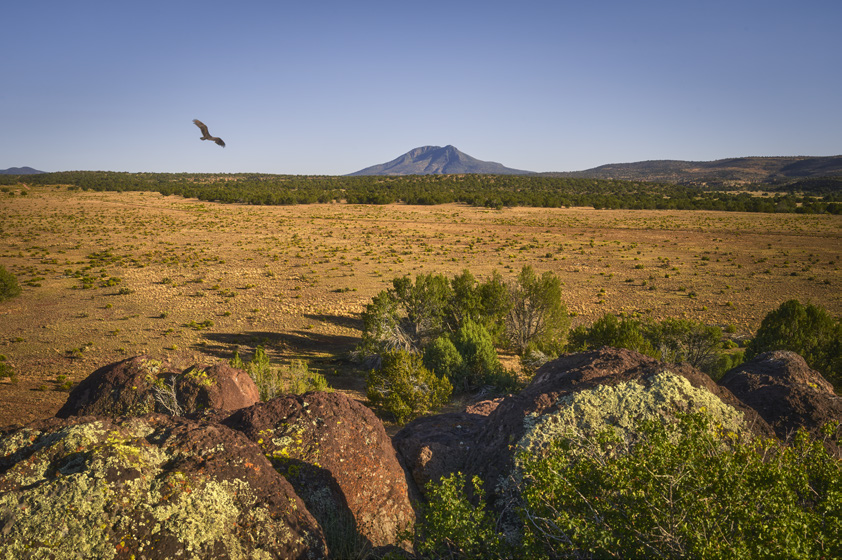
Just before Mile 18, you’ll come to a property historically known as the Anvil Rock Ranch. There, you’ll find a gate you need to open to continue on Anvil Rock Road; public access is permitted, but be sure to close the gate behind you. From there, the road deteriorates significantly, and you’ll have to navigate cobblestones, ruts and potholes for the final mile of the route. Thankfully, that mile passes quickly, and you’ll soon come to Anvil Rock itself, on the left.
A faded side road leads to the base of Anvil Rock, which doesn’t bear strong resemblance to an anvil; instead, it’s a jumble of dark volcanic boulders that contrast starkly with the green and tan hues that encircle them. How the name came about isn’t known, but the rock — technically classified as a summit — makes a convenient stopping point for this drive. On your way back to Seligman, you can come up with your own Anvil Rock origin story. Or just daydream about the milkshake you’re going to enjoy at Delgadillo’s Snow-Cap drive-in.
ADDITIONAL READING: For more adventure, pick up a copy of our book Arizona Highways Scenic Drives, which features 40 of the state's most beautiful back roads. To order, visit www.shoparizonahighways.com/100scenicdrives .
Tour Guide
Note: Mileages are approximate.
Length: 18.8 miles one way (from Interstate 40)
Directions: From Interstate 40 west of Seligman (Exit 109), go south on Anvil Rock Road for 18.8 miles to Anvil Rock, on the left.
Vehicle Requirements: None in good weather for the first 17.8 miles of the drive. The final mile, past the gate, requires a high-clearance vehicle, such as an SUV or truck.
Special Consideration: The route passes through sections of private property. Please respect residents’ privacy and obey all posted signs.
Warning: Back-road travel can be hazardous, so be aware of weather and road conditions. Carry plenty of water. Don’t travel alone, and let someone know where you are going and when you plan to return.
Travelers in Arizona can visit www.az511.gov or dial 511 to get information on road closures, construction, delays, weather and more.