Apache-Sitgreaves National Forests, Winslow
It might be hard to imagine when you’re driving 75 mph down a smooth stretch of blacktop, but many north-south routes in Arizona were carved by the wagon ruts of Mormon pioneers. These roads, built in the last half of the 19th century, generally followed paths of least resistance across seemingly impassable terrain. Many have long since been paved over, but Forest Road 504, the road to Chevelon Crossing, is as rugged and beautiful as when settlers pulled their wagons through Northern Arizona 140 years ago.
As you retrace this pioneer path from Winslow to Heber, make your first stop Sunset Crossing, just off Historic Route 66 on the east side of Winslow. Here, a historical marker explains that several Mormon routes converged in this area, where a rock ledge made it possible to pull heavy wagons across the silt-bottomed Little Colorado River. From here, most travelers went west, toward Pine and the Verde River, or east, toward Joseph City and the White River. But some of the more adventurous wagon parties headed south, toward Chevelon Creek, and forged the path of this drive.
Heading out of Winslow on State Route 87 and then State Route 99, you’ll pass the city’s McHood Park, on the banks of Clear Creek. Then it’s 20 miles along lonely blacktop where the stretch of sky across the high desert is so big, you can almost see the curve of the Earth. You’ll leave the pavement around Mile 27 and turn left onto FR 504 at the sign for Heber and Chevelon Canyon Lake.
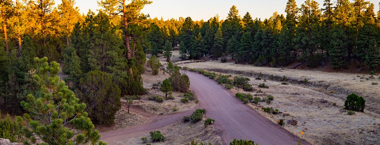
After passing through a checkerboard of private and state trust lands, continue on FR 504 as you enter the Apache-Sitgreaves National Forests. Here, the landscape gradually transitions from arid high desert to piñon-juniper vegetation, then to the ponderosa pine forests and riparian canyons tucked into the Mogollon Rim. At about Mile 34, you’ll reach the junction with Forest Road 169, which leads to Chevelon Canyon Lake. Stay straight on FR 504 and go another mile toward dramatic Chevelon Canyon.
While the graded switchbacks leading into the canyon have been fortified by the U.S. Forest Service to make the route safe for passenger cars, the road originally was built in about 1879 so migrants could get their wagons across the perilous ravine. According to historian Will C. Barnes, author of the 1935 book Arizona Place Names, a Mormon settlement sprang up at the bottom of the canyon. “There were about 10 cabins here in 1883,” Barnes wrote, “each having a ‘claim notice’ written on a smooth board nailed on the door.”
After the hairpin turns and bird’s-eye views of Rim Country, you’ll arrive at Chevelon Crossing, where Chevelon Creek threads between pines, oaks and sycamores. Chevelon Crossing Campground, built by the Civilian Conservation Corps in the 1930s, is tucked beneath trees along the creek and is a good place to have lunch or spot beavers, deer or turkeys.
After going over the one-lane bridge, you’ll begin climbing up the other side of the canyon. Once you top out on the other side, you’ll pass through rolling meadows with old fire scars before arriving at State Route 260 near Heber. As you pull onto the paved highway, be glad you live in a world where you still can travel a primitive wagon road forged more than a century ago.
Note: Mileages are approximate.
Length: 52 miles one way
Directions: From Historic Route 66 in Winslow, go south on State Route 87 for 1.2 miles to State Route 99. Turn left onto SR 99 and continue 25.7 miles to Forest Road 504. Turn left onto FR 504 and continue 25.1 miles to State Route 260 near Heber.
Vehicle Requirements: A high-clearance vehicle is required, but four-wheel-drive is not necessary in good weather.
Warning: Back-road travel can be hazardous, so be aware of weather and road conditions. Carry plenty of water. Don’t travel alone, and let someone know where you are going and when you plan to return.
Information: Black Mesa Ranger District, 928-535-7300 or www.fs.usda.gov/asnf

