

Edward Abbey had a lot to say. And much of what he said ended up in quotation marks. Here’s what he said about walking in his book The Journey Home: “There are some good things to be said about walking. Not many, but some. Walking takes longer, for example, than any other known form of locomotion except crawling. Thus it stretches time and prolongs life. Life is already too short to waste on speed. I have a friend who’s always in a hurry; he never gets anywhere. Walking makes the world much bigger and thus more interesting. You have time to observe the details.”
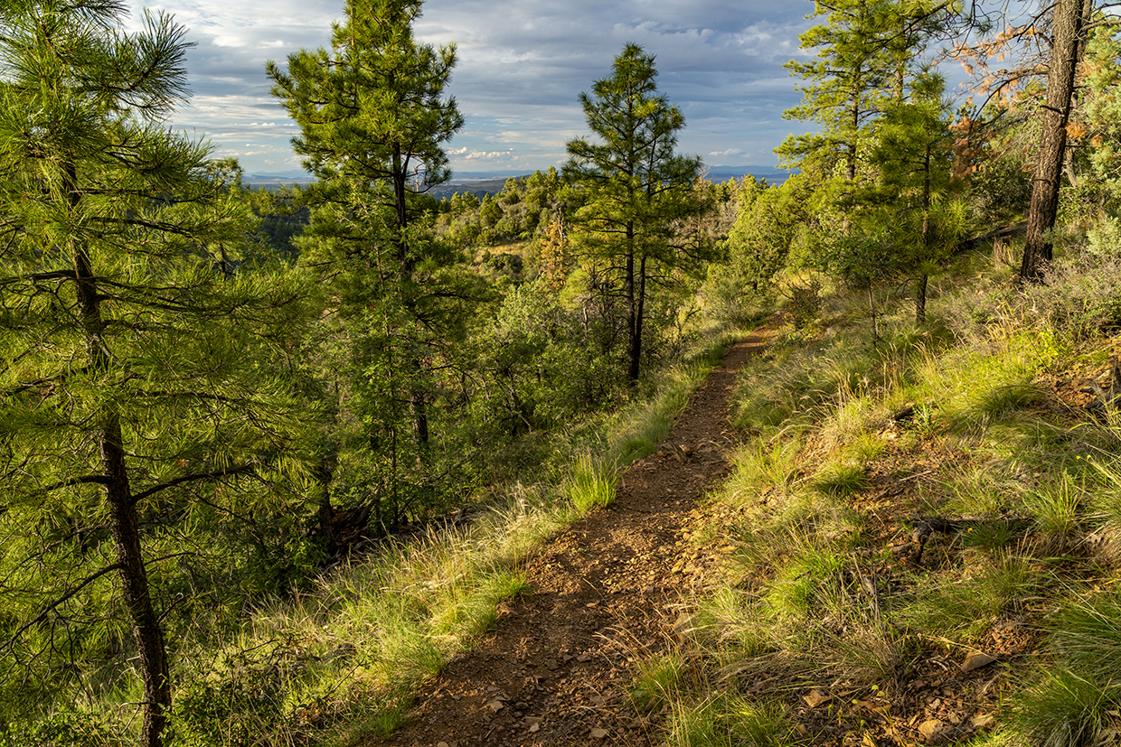
That wisdom applies to just about any hike in Arizona, and it’s especially relevant on the Smith Ravine Trail in the Prescott National Forest, which was established in 1908, after 10 years as a forest reserve. There’s no big payoff on this hike, as there is on Humphreys Peak or in Tsegi Canyon, but it’s a beautiful trail that winds through a woodland loaded with details.
The hike begins just south of Lynx Lake at a bite-size trailhead along Walker Road, which is a pipeline to many of the great trails on the forest. The ascent begins immediately after passing through a gate. A couple of minutes later, there’s an intersection. To the right is the Hoot Owl Trail. Veer left to stay on the Smith.
For the first 10 minutes, the trail climbs an exposed slope that faces east. The views at this point are 360 degrees, but that viewpoint quickly disappears as the trail drops into the forest. There to greet you will be birds: white-breasted nuthatches (the largest nuthatch in North America), mountain chickadees, broad-tailed hummingbirds, acorn woodpeckers and spotted towhees.
The towhees are beautiful, long-tailed sparrows with white spots on their wings and backs, bright rufous sides and white bellies. Their eyes are like cranberries dotted with a Sharpie — deep red with a black pinpoint in the middle.
Continuing up, you’ll quickly drop back down. Up and down and up and down. That’s the nature of this hike, which is why the total elevation gain is more than the distance between the high point and the low point. By the time you get back to your car, you’ll have racked up about 1,100 feet. But it’s a moderate hike, with long switchbacks in the steepest places. They make it easy to look around, and what you’ll see is a forest of mixed conifers and hardwoods. Gambel oaks are prevalent.
Named for William Gambel, an explorer and naturalist who roamed the West in the early 1800s, these small but mighty oaks are built to thrive in places defined by rocky soil, high winds and fire. They do well in drought, too, thanks to their deep roots and xeromorphic leaves, which have the ability to store water. And just below the surface of the earth, these resilient oaks nurture lignotubers, which possess a mass of buds that sprout new trunks in the wake of fire.
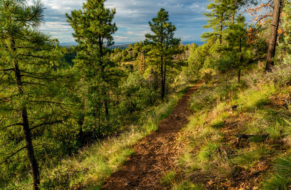
About a half-hour in, the trail arrives at another impressive tree — an alligator juniper. It’s not as big as the monsters to the north, but it’s revered. Passersby have turned it into a shrine of sorts by flanking its base with heart-shaped rocks. Beyond the big gator, the trail dips and then climbs some more until it crosses the upper end of Smith Ravine. On the other side, the trail continues its slow ascent through a cluster of hardwoods, which flare up when the shorter days and cooler air break down the chlorophyll in the trees’ leaves, allowing the yellow pigments of xanthophyll to mark the arrival of autumn.
The rest of the route continues along the same path, past Smith Ravine Spring, which is unmarked, and on to its end-point at Spruce Mountain Road (Forest Road 52A). As you make your way, keep your eyes peeled for coyotes, mule deer, javelinas, bobcats and mountain lions. You may not see them — that’s their goal — but if you walk slowly enough, you’ll likely see their footprints in the dirt. Walking, Mr. Abbey said, makes the world more interesting, and allows time to observe the details.
ADDITIONAL READING: For more hikes, pick up a copy of Arizona Highways Hiking Guide, which features 52 of the state's best trails — one for each weekend of the year, sorted by seasons. To order a copy, visit www.shoparizonahighways.com/hikingguide
Trail Guide
Length: 6 miles round-trip
Difficulty: Moderate
Trailhead GPS: N 34°29.069', W 112°22.381'
Elevation: 6,061 to 6,960 feet Directions: From Courthouse Square in downtown Prescott, go east on State Route 69 for 4.1 miles to Walker Road. Turn right onto Walker Road and continue 4.8 miles to the trailhead, on the right.
Vehicle Requirements: None
Dogs Allowed: Yes (on a leash)
Horses Allowed: Yes
USGS Maps: Prescott, Prescott Valley South
Information: Bradshaw Ranger District, 928-443-8000 or www.fs.usda.gov/prescott
LEAVE-NO-TRACE PRINCIPLES:
• Plan ahead and be prepared.
• Travel and camp on durable surfaces.
• Dispose of waste properly and pack out all of your trash.
• Leave what you find.
• Respect wildlife.
• Minimize campfire impact.
• Be considerate of others.