

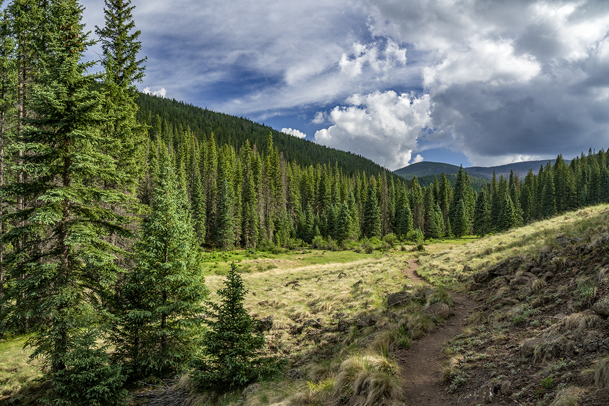
West Baldy Trail
Apache-Sitgreaves National Forests West Baldy Trail
Nearly two-thirds of Japan is covered by forest. Therefore, it’s the perfect place to practice shinrin-yoku, an exercise that translates to “forest bathing” or “taking in the forest atmosphere.” The Japanese term caught on about 40 years ago as a way of getting people off the couch and into the woods, but the concept wasn’t new.
“Everybody needs beauty as well as bread,” John Muir wrote in 1912, “places to play in and pray in, where nature may heal and give strength to body and soul alike.” And before Mr. Muir, almost every culture recognized the powerful correlation between the natural world and human health. Medical studies in the 21st century have shown that forest bathing helps lower stress, reduces blood pressure and improves our overall mood.
Although shinrin-yoku was born in the forests of Japan, a walk in the woods — or meadows or mountaintops or canyons — of Arizona can have the same effect. One of our most accommodating forests is Apache-Sitgreaves in the White Mountains. There are two trails that lead to the top of the highest peak in those woods: East Baldy and West Baldy.
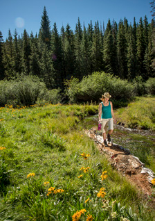
For peak-baggers, the West Baldy Trail is one leg of the Triple Crown in Arizona — along with Humphreys Peak near Flagstaff and Escudilla Mountain near Alpine. For everyone else, it’s an easy way to sample the best of the backcountry and do a little forest bathing along the way. Corkbark firs, ponderosa pines, white firs, Engelmann spruce, trout streams, meadows, black bears, deer, mountain lions and a cool, wet climate make this one of the most beautiful places in the Apache-Sitgreaves National Forests — the summer temperature in the woods rarely climbs above the 70s.
The first 2 miles of the trail cut through a series of wide alpine meadows and follow the West Fork of the Little Colorado River, which is dotted with beaver dams. You’ll get your first glimpse of the water after about 15 minutes. Five minutes later, you’ll enter the Mount Baldy Wilderness, which shelters nearly 7,000 acres of sacred land. Looking around, you’ll understand why this area was granted the ultimate protection. Naturally, that beauty makes this stretch one of the busiest on the trail, but as the hike gets a little tougher, the crowds thin out.
About an hour in, the trail enters a thick forest dominated by spruce, firs and aspens — other than a few small meadows, the trail won’t break out of the timber until the top. At the 90-minute mark, you’ll cross a stream and begin a series of steep switchbacks — overall, the hike won’t overwhelm you, but the altitude and the distance do have an effect. Moving on, the trail continues its ascent to a hillside covered with fallen logs. Big logs. Lots of logs. Imagine Paul Bunyan spilling a giant can of Lincoln Logs. The dead trees are the victims of bark beetles, which clobbered the area during the height of the drought in 2002 and 2003. Bears seem to like this area.
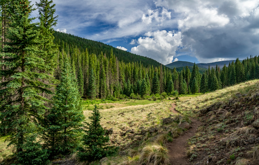
From there, the switches continue through an endless stretch of gorgeous evergreens, which are interspersed with boulders the size of station wagons — one looks like Abe Vigoda. Eventually, West Baldy merges with the East Baldy Trail near the White Mountain Apache Tribe boundary. The summit of Mount Baldy is on tribal land, and it’s open only to tribal members. You’ll be tempted to “sneak” to the top; however, this is sacred land, and it must be respected. Trespassers who ignore the boundary are subject to fines and could have their backpacks confiscated.
If you’re a peak-bagger, here’s the good news: The highest point of the ridge isn’t Baldy Peak (11,403 feet), but rather an unnamed area (11,420 feet) on U.S. Forest Service land to the north. Wherever you stand, the views are spectacular. Captain George Wheeler, who surveyed much of the American Southwest in the 1870s, wrote that the view from Mount Baldy was “the most magnificent and effective of any among the large number that have come under my observation.”
It’s hard to argue. And that view is even better after a few hours of forest bathing.
ADDITIONAL READING: If you’re looking to hit the trail this summer, pick up our Summer Hiking Guide, which features 50 of our favorite trails and is written for hikers of all skill levels. To order a copy, visit www.shoparizonahighways.com/summerhikes
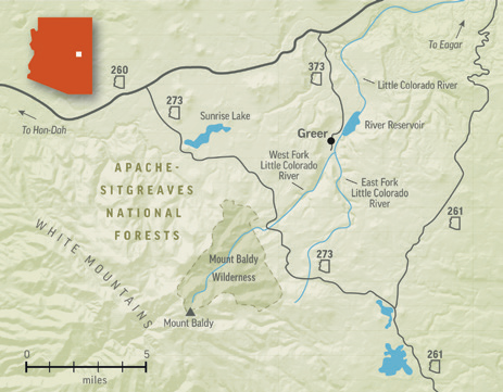
Trail Guide
Length: 14 miles round-trip
Difficulty: Strenuous
Elevation: 9,287 to 11,420 feet
Trailhead GPS: N 33˚57.888', W 109˚30.071'
Directions: From Eagar, go west on State Route 260 for 18.7 miles to State Route 273. Turn left onto
SR 273 and continue south for 8.6 miles to the trailhead at Sheeps Crossing.
Vehicle Requirements: None
Dogs Allowed: Yes (on a leash)
Horses Allowed: Yes
USGS Map: Mount Baldy
Information: Springerville Ranger District, 928-333-6200 or www.fs.usda.gov/asnf
LEAVE-NO-TRACE PRINCIPLES:
• Plan ahead and be prepared.
• Travel and camp on durable surfaces.
• Dispose of waste properly and pack out all of your trash.
• Leave what you find.
• Respect wildlife.
• Minimize campfire impact.
• Be considerate of others.