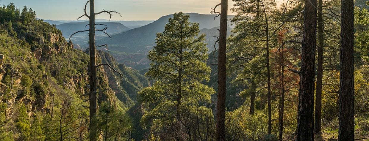
Coconino National Forest, Sedona
Of all the hikes in the Sedona backcountry, the Loy Canyon Trail is one of the best. Nevertheless, it’s never too congested, which is hard to understand. But even if it were, you’d be remiss if you passed it over, because this route offers all of the picturesque beauty that you think of when you think of Sedona, including sheer cliffs of vermilion and buff sandstone, and a lush, narrow canyon lined with scrub oaks, Arizona cypresses, yuccas, prickly pears, alligator junipers, Gambel oaks and ponderosa pines. Another hallmark of this hike is the final ascent, which climbs about a thousand feet in the last mile. It’s enough to turn an easy stroll into a strenuous slog. But it’s a worthy slog.
The trail begins at the mouth of Loy Canyon, which is connected to the outer world by a scenic forest road that sets the stage for the main attraction ahead. From the parking area, you’ll immediately cross into the Red Rock-Secret Mountain Wilderness and begin skirting a barbed-wire fence that separates the Coconino National Forest from the Hancock Ranch. You can’t miss the handful of buildings that serve as the home base for what’s left of the ranch — in 2004, the Trust for Public Land purchased 88 acres of the original homestead for $3.95 million and donated the land to the national forest.
For the first 4 miles, the easy-to-follow single-track winds along a normally dry creek bed. There’s a gradual ascent, which you’ll hardly notice. What you will notice is the sound of birds. Their music echoes off the canyon walls. And the loudest singers are the Steller’s jays, which aren’t fond of posing for photographs, but will show themselves — as you move through the woods, you’re certain to catch a glimpse of their blueprint blue. The contrast of the blue birds against the red rocks is striking. Like Matisse, Mother Nature is a master when it comes to primary colors.
Beyond the barbed wire, you’ll start to see Loy Butte to the left. It’s filtered by the canopy of trees, but you’ll see it. Dressed in the classic red rock of Sedona. The butte, like the canyon, is named for Samuel Loy, who used this trail in the 1880s to run cattle to and from the summer pastures on the rim above.
Continuing on, you’ll encounter a few fallen trees across the trail. The detours are obvious. And at one point, the canopy opens up, but only briefly. The majority of this route is in the trees, which makes it an option even in the summer. The ponderosas in particular start to dominate as the trail moves deeper into the canyon.
About 90 minutes in, you’ll see the saddle that connects Secret Mountain to the Mogollon Rim. That’s where this trail ends, but first you’ll have to shift gears and start climbing. For the next few minutes, the route gets significantly steeper. Then, when you hit the switchbacks, things really begin to escalate — you’ll gain about a thousand feet in the next mile. First there’s a long zig that climbs to the northwest and offers spectacular views of the canyon to the south. That’s followed by an even longer zag to the northeast. The combination is unmerciful, and it makes you wonder how those 19th century cows managed the trek. After a shorter zig-zag-zig, you’ll come to a flat ledge with even better views. From there, the narrow trail — more suited to bighorns than Herefords — leads to the saddle, where the Loy Canyon Trail intersects the Secret Mountain Trail.
This is the turnaround point. However, if you have the time, you should veer right and continue a couple hundred yards to the top of Secret Mountain. The landscape is mostly flat and shady, and it’s a perfect place for a nap or a picnic or some peace and quiet. You can also continue another half-hour to the remains of the Secret Mountain Cabin, which was built in the 1870s by a Mormon family evading polygamy persecution. Later, the 20-by-12-foot cabin was used by horse thieves who would move their contraband up the Loy Canyon Trail to their secret hideout. Looking around, you’ll envy their time there, despite the extenuating circumstances. “Idyllic setting” isn’t hyperbole here. It’s a finishing touch on one of the best trails in the Sedona backcountry.
Length: 10.25 miles round-trip
Difficulty: Strenuous
Elevation: 4,715 to 6,467 feet
Trailhead GPS: N 34˚55.943', W 111˚55.479'
Directions: From the roundabout junction of State Route 179 and State Route 89A in Sedona, go south on SR 89A for 9.7 miles to Forest Road 525. Turn right onto FR 525 and continue 9.5 miles to the trailhead.
Vehicle Requirements: A high-clearance vehicle, such as an SUV or truck, is highly recommended.
Dogs Allowed: Yes (on a leash)
Horses Allowed: No
USGS Map: Loy Butte
Information: Red Rock Ranger District, 928-203-7500 or fs.usda.gov/coconino

