
Chino Valley Ranger District, Prescott National Forest
Both ends of this drive are scenic, but the nature of that scenery — from Prescott’s small-town charm to Camp Wood’s quiet isolation — couldn’t be more different. You’ll need a reliable vehicle and a three-hour block of time, but that’s a small price to pay for views as varied and breathtaking as any you’ll find in Arizona.
Reset your trip odometer at the northwest corner of Courthouse Square in downtown Prescott, a town that served two stints as the Territorial capital in the second half of the 19th century. Today, Prescott is known, in part, for Whiskey Row, its historic area of bars and restaurants. It’s a great place to grab lunch before beginning the drive.
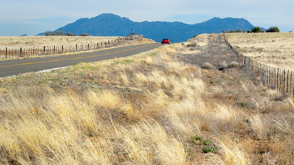
As you head west, you’ll end up on Williamson Valley Road, which winds north past the horse and cattle ranches on the outskirts of town. To the east is Granite Mountain (7,626 feet), and at Mile 9, you’ll pass the Williamson Valley Trailhead, from which several moderate hiking trails can be accessed. Five miles past that, keep an eye out on the right for a glimpse of the San Francisco Peaks, near Flagstaff. You’ll see more of the peaks later, but for now, the road descends into a more forested area.
Open grasslands, small trees and the occasional windmill dominate the view as you continue on. When Williamson Valley Road runs out of pavement, it’s time to turn onto Forest Road 21, a dirt road that climbs into the Prescott National Forest to the west. Early on, a sign warns you to watch for animals. If you’re lucky, you might see a herd of pronghorns, often mistaken for antelopes, grazing near the roadside. The pronghorn is the continent’s fastest land animal, so have your camera ready.
Around Mile 30, the grasslands give way to ponderosa pines as you head deeper into the forest. There are several great views on both sides as you continue on, so take it slow — which you should be doing anyway, because the road gets rougher and narrower as you gain elevation. There isn’t much traffic here, but be ready to pull to the side for oncoming vehicles. Don’t leave without pulling over at Mile 33 to enjoy the idyllic panorama of the small valley below.
The drive concludes at Camp Wood, the site of a cavalry post during the Territorial days. There’s nothing left of the camp but a large clearing, and it’s a good place to stretch your legs and debate your next move. If you’re driving a high-clearance vehicle, you can head north on Forest Road 95 to Walnut Creek, 11 miles away, and make your way to Prescott from there. Otherwise, retrace your route on FR 21 and Williamson Valley Road. If you choose the latter, watch for another incredible view of the San Francisco Peaks shortly after you start the drive back. You’ll know it when you see it.
Note: Mileages are approximate.
Length: 40 miles one way
Directions: From the northwest corner of Courthouse Square in Prescott, drive west on Gurley Street for 0.4 miles to Grove Avenue, turn right and continue 0.4 miles as Grove Avenue turns into Miller Valley Road. Continue on Miller Valley Road for 0.8 miles to Iron Springs Road, turn left and go 1.4 miles to Williamson Valley Road. Turn right onto Williamson Valley Road and go 22 miles. When the pavement ends, turn left onto Forest Road 21 and follow the dirt road for 16 miles to the Camp Wood site on the right.
Vehicle requirements: A high-clearance vehicle is recommended, but FR 21 is passable in a standard sedan in good weather.
Warning: Back-road travel can be hazardous, so be aware of weather and road conditions. Carry plenty of water. Don’t travel alone, and let someone know where you are going and when you plan to return.
Information: Chino Valley Ranger District, 928-777-2200 or www.fs.usda.gov/prescott