
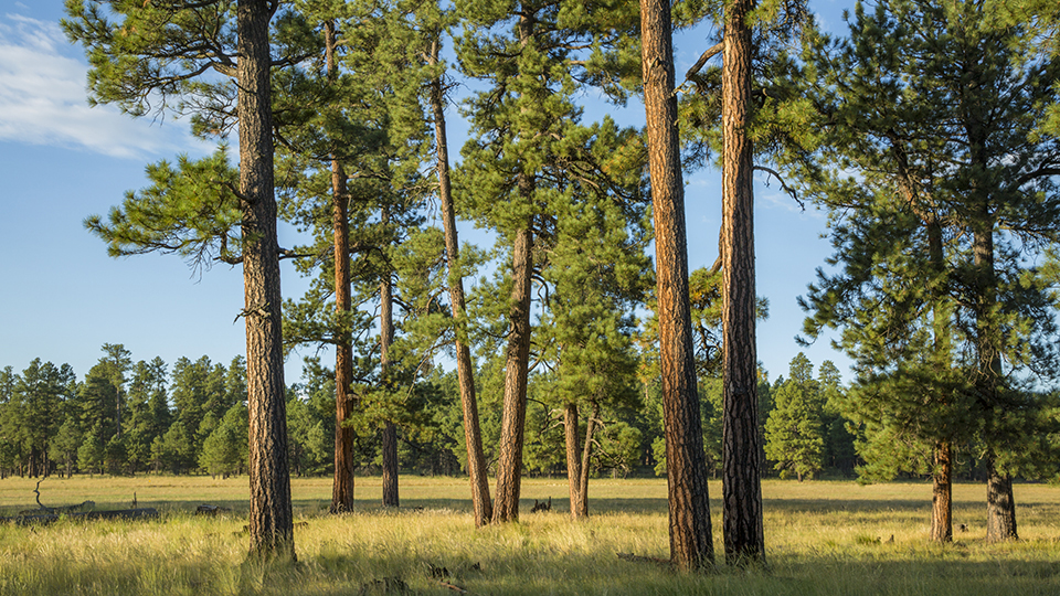
Coconino National Forest, Flagstaff
The ponderosa pines that cover a wide swath of Arizona made Flagstaff the vital Northern Arizona city it is today. But the railroad played a role, too: Flagstaff began as an isolated ranching camp, but the arrival of trains in the 1880s helped establish logging as a key economic engine. Forest Road 700, which begins several miles south of the city, features reminders of the area’s railroad history — along with plenty of ponderosas.
This drive begins at the Kelly Canyon Road exit off Interstate 17. Head less than a mile northeast on Forest Road 700H, then turn right onto FR 700, which follows the route of a logging railroad built by the Arizona Lumber and Timber Co. in the 1910s and ’20s to get logs from the Munds Park area to the mills in Flagstaff. Later on, two other companies upgraded the line to an industrial railroad to harvest logs from the Allan Lake area. That line operated until 1966. By that time, Forest Highway 3 (Lake Mary Road), several miles east of the line, was good enough to bring logs to Flagstaff on trucks.
Much of FR 700 parallels or crosses sections of the railroad bed. Starting around Mile 5.5, you’ll begin to notice these remnants on either side of the road, amid the mature ponderosas that shade the route. The most substantial of these remnants is at Mile 6.3. On the left is a 330-foot trestle that was built in 1934, then bypassed in 1943. What remains is essentially a large pile of rocks and timber — one that’s impressive enough to be listed on the National Register of Historic Places.
Continuing on, the road crosses a canyon before passing a section of wildfire damage, along with several clearings that are ideal for spotting deer or elk. Around Mile 11 is the last spot where the railroad bed is visible, and from here, the road becomes rockier and more rutted. Your time on FR 700 ends at Mile 13.7, when you’ll reach a “Y” intersection. Go left to take Forest Road 240 less than a mile to a “T” intersection, then turn right onto Forest Road 91, which will take you the rest of the way.
This road meanders past more ponderosas and an isolated aspen grove, along with Long Park, another large clearing. At Mile 21.8, a side road on the right leads to Brolliar Park, which has a story of its own. Flagstaff pioneer Dave Brolliar homesteaded this site in the 1910s, and at one point, it included houses, a barn, a chicken coop and corrals. Today, only Brolliar’s log cabin remains, and it’s one of the last remaining homestead cabins on the Coconino National Forest, which has recently stabilized and preserved the building.
Back on FR 91, you’ll cross the Arizona Trail a half-mile before you arrive at FH 3, the stopping point for this drive. Turning right on this paved road will eventually take you to State Route 87 in Mogollon Rim Country. Turning left, you’ll pass Mormon Lake and Lake Mary on your way back to Flagstaff. If you choose the latter, you’ll see thousands more ponderosas along the way — and when you hear the train horns, you’ll know you’re almost there.
Note: Mileages are approximate.
Length: 24 miles one way (from Interstate 17)
Directions: From Flagstaff, go south on Interstate 17 for 8.8 miles to Kelly Canyon Road (Exit 331). Turn left onto Kelly Canyon Road, which turns into Forest Road 700H, and continue 0.7 miles to Forest Road 700. Turn right onto FR 700 and continue 13 miles to a “Y” intersection. Bear left onto Forest Road 240 and continue 0.8 miles to a “T” intersection. Turn right onto Forest Road 91 and continue 9.5 miles to Forest Highway 3 (Lake Mary Road).
Vehicle requirements: A high-clearance vehicle is required, but four-wheel-drive is not necessary in good weather.
Warning: Back-road travel can be hazardous, so be aware of weather and road conditions. Carry plenty of water. Don’t travel alone, and let someone know where you are going and when you plan to return.
Information: Flagstaff Ranger District, 928-526-0866 or fs.usda.gov/coconino